Geography and Climate in Guam
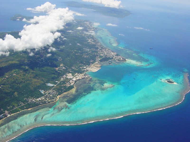
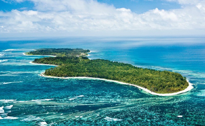
Rating: 9,2/10 (6240 votes) 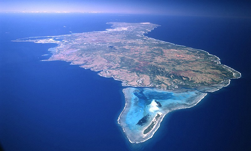 Guam is an island in the Pacific Ocean, part of the Mariana Islands and stretching from north to south along the hollow of the same name, Guam is 50 km long, about 12 km wide. The island is thus the largest in the archipelago. The southern hilly part of the island, once formed as a result of a volcanic eruption, differs significantly from the northern one, composed of corals and representing a limestone plateau. The island has its own airport with the long name"Antonio B. Won Pata International Airport", which accepts flights from Seoul, Tokyo and Manila, so those wishing to get to the island by air will have to plan a flight with a transfer in one of these cities. Guam has a monsoon tropical climate, the year can be divided into a wind season lasting from October to May, and a rainy season from June to September. The air temperature fluctuates between 28-33 ° С and does not actually change during the day. With a frequency of once every few years, typhoons happen in Guam, which, however, rarely cause trouble for local residents. The island's time zone is UTC + 10.  We also recommend reading Geography and Climate in Cesme Topic: Geography and Climate in Guam. |