Geography and Climate in Saipan
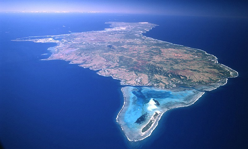
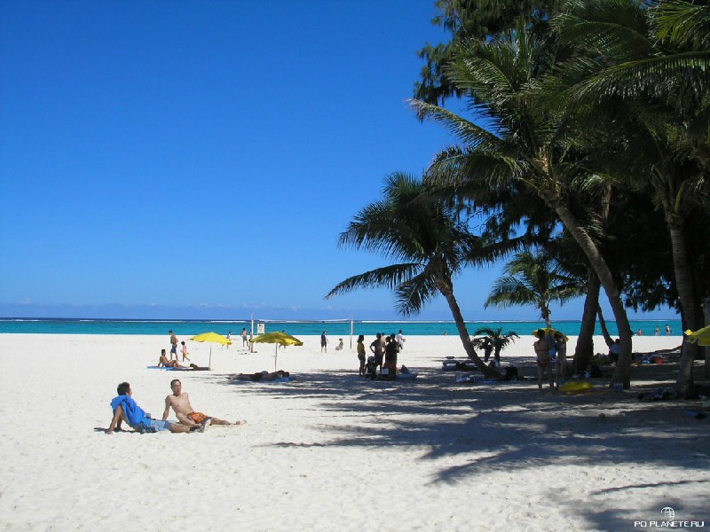
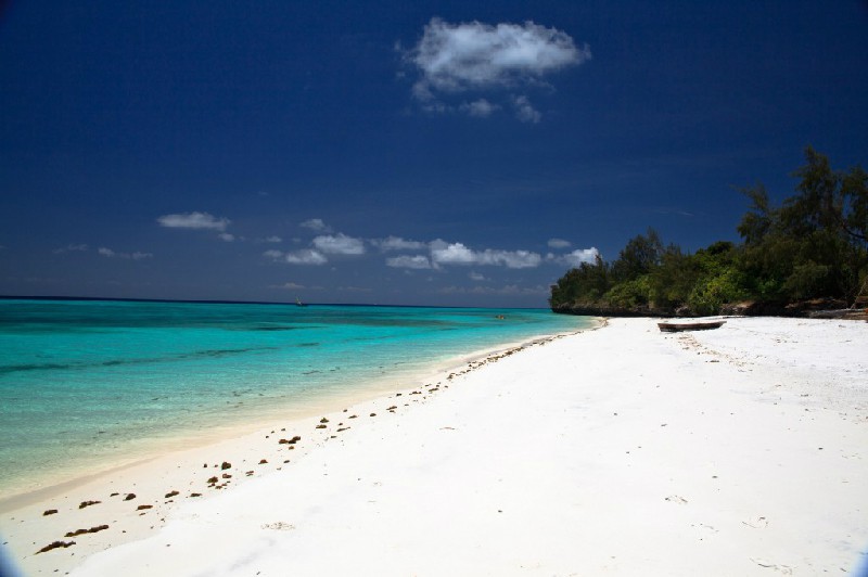
Rating: 8,5/10 (6951 votes) 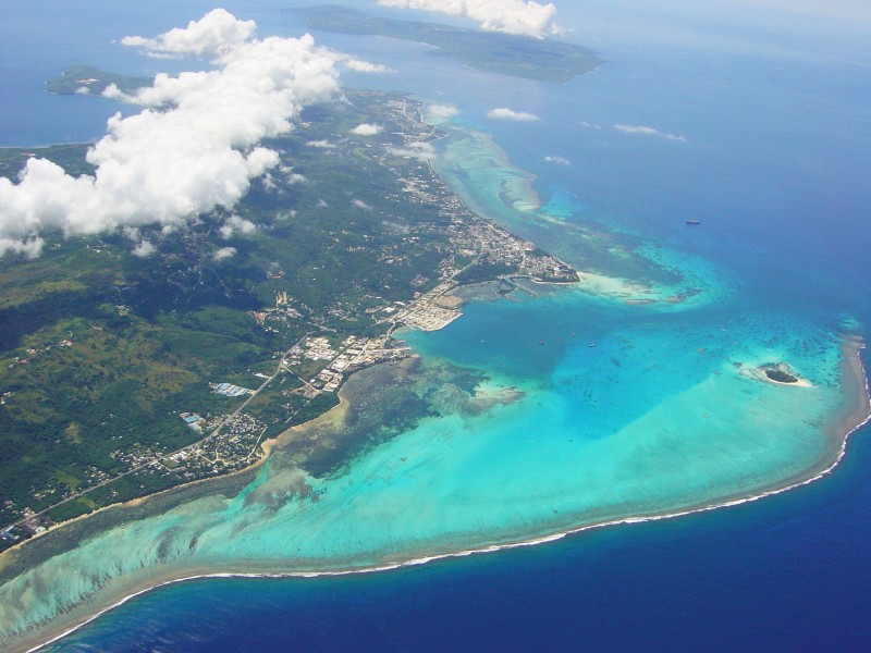 Saipan is an island of the Mariana archipelago, which is part of the municipality of the same name and is the administrative center of the Northern Mariana Islands. Saipan is of volcanic-coral origin, so its western part, forming a lagoon, differs significantly from the rocky and steep eastern part, along which the reef is located. The length and width of the island are 23 and 10 km, respectively, with a total area of 115 km?. The highest point of Saipan is Topochau Mountain, which is, interestingly, composed of limestone, and not volcanic rocks. The easiest way to get to the island is by air: planes to Saipan take off from Tokyo, Seoul, Shanghai, Guangzhou, Hong Kong and Guam. Most tourists prefer a flight with a stopover in Tokyo. The island has a trade wind tropical climate, the temperature all year round does not deviate from the value of +27 ° С, for which Saipan was listed in the Guinness Book of Records as the island with the most constant temperature in the world. July-November is the rainy season, December-early July is the dry season, also called"high". Typhoons are frequent from early August to late December. The time zone is UTC + 10.  We also recommend reading Saipan USA Resort Information Topic: Geography and Climate in Saipan. |