Geography and climate in Mahe
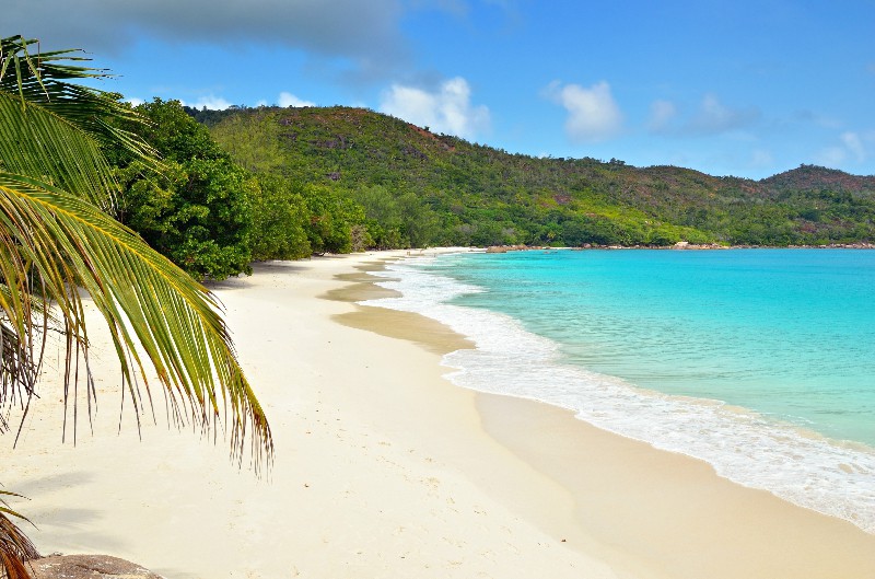
Rating: 8,1/10 (3122 votes) 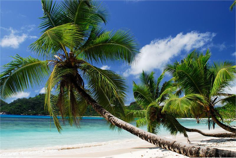 Geography and ClimateMahe Island is located on the territory of the Seychelles, in the Indian Ocean. Mahe is the largest island in Seychelles. Its dimensions are - 8 25 kilometers. The island is mountainous, on it has the highest point of the entire archipelago - 905 meters above sea level. On the island is the capital of Seychelles - Victoria. It is an international airport, and also the only commercial port on the whole archipelago. The climate on the island is maritime, subequatorial. From June to November, the thermometer rises to + 24 ° С, and from December to May - to + 29 ° С. В In the cooler season, precipitation is rare, and the hotter months are considered the"rainy season." However, tropical showers are short-lived, so the weather is comfortable all year round. The best months to relax on Mahe are October and May. At this is the time of rains and there is almost no wind, and the sea is very calm. You can get to the island by plane - Pointe Larue (international airport) is located only 9 kilometers from capital of the state of Victoria. Time is ahead of Moscow by one hour.  We also recommend reading Geography and climate in Praslin Topic: Geography and climate in Mahe. |