Geography and Climate in Cayo Santa Maria
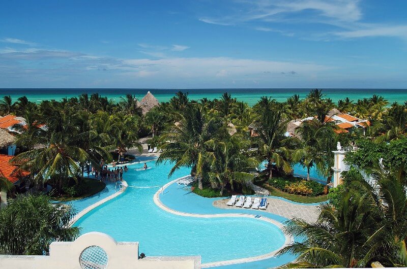
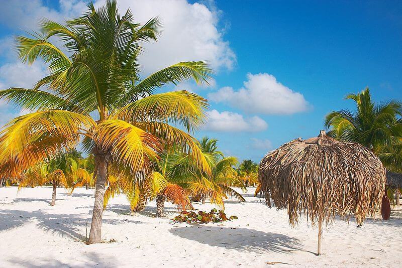
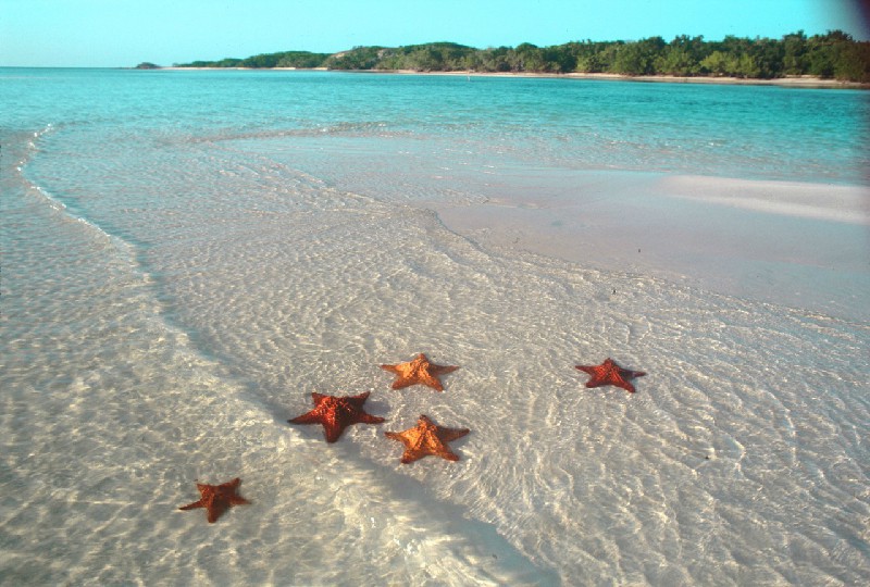
Rating: 8,4/10 (2589 votes)  Cayo Santa Maria is one of the youngest and, at the same time, promising resorts in Cuba. Santa Maria is an island in the Atlantic Ocean, located 30 km from the islands of Coco and Guillermo, opposite the northern tip of the province of Villa Clara on the mainland. The length of Cayo Santa Maria is 13 km, width - 2 km, the island is part of the archipelago known as the Royal Gardens, but unlike its neighbors, it is connected to the mainland by the 48-kilometer Pedraplen Dam. You can get to Santa Maria from Santa Clara, which has an international airport that accepts flights from all over the world; in addition, there is a small airport on the island of Las Brujas. In the first case, the journey to Santa Maria by bus will take about an hour and a half, in the second - no more than 15 minutes, but it is worth considering that Las Brujas airport serves only domestic flights. Santa Maria's climate can be described as temperate tropical. The average annual temperature is usually 27-29 ° C. One of the few climatic features of the island is the rather strong gusts of wind from the Atlantic Ocean, which, although they do not occur very often, can spoil the mood of the bathers. 
We also recommend reading Geography and Climate in Ak-Bulak Topic: Geography and Climate in Cayo Santa Maria. |