Geography and Climate in Desroches
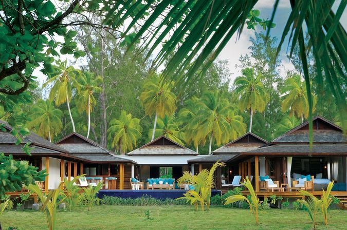
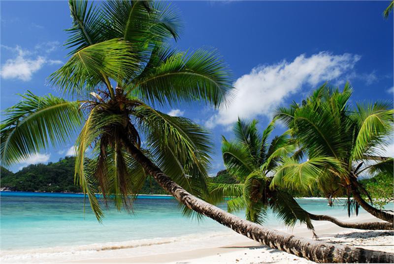
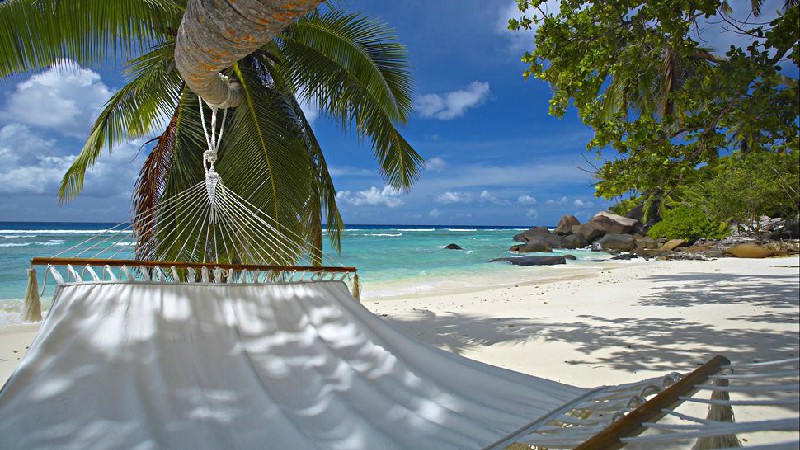
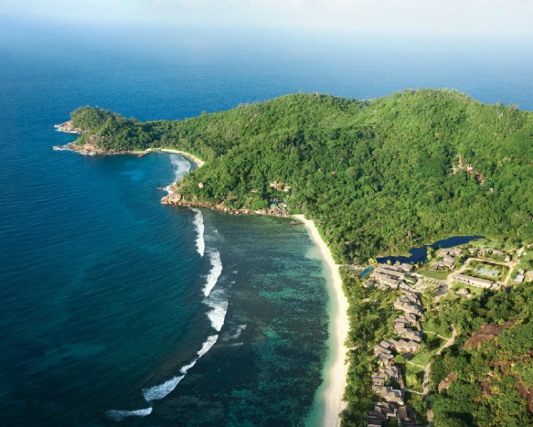
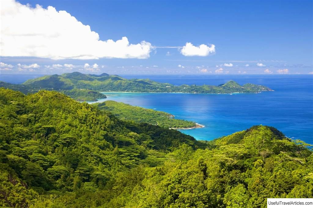
Rating: 7,6/10 (7211 votes) 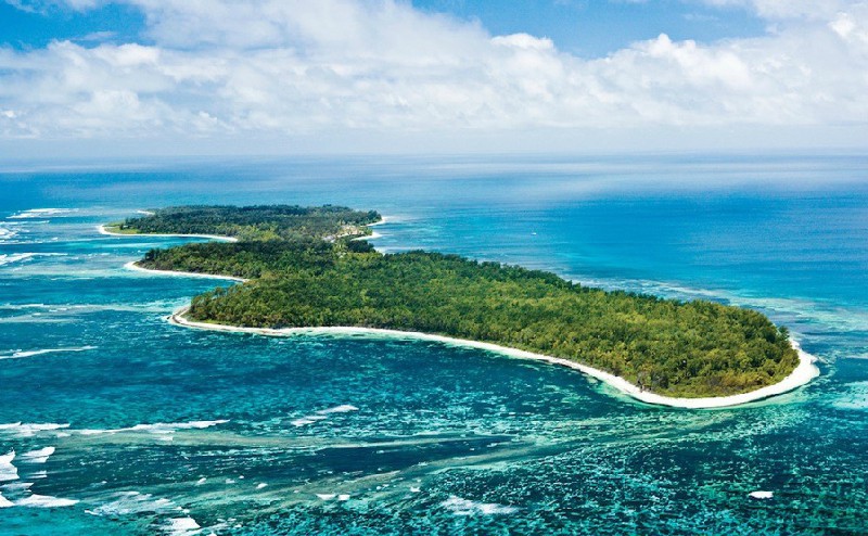 Desroches is a small atoll turned into a tourist attraction in the Seychelles. The island bears the name of one of the French governors who ruled the archipelago in the 18th century. Geographically, Desroches is located southwest of the main Seychelles island of Mahe, but even the impressive distance between the islands did not prevent the creation of a developed tourist infrastructure. The beaches of Desroches are white sand of coral origin. The total length of the beach area of the atoll is 15 kilometers, which is considered a very large area for such a site in the middle of the ocean. The central part of the island is dense equatorial thickets, among which there is a tourist area. You can get to Desroches only by air - the local airport receives domestic flights of small planes from Mahe. The flight time will take about an hour, since the distance of 230 kilometers above the ocean is quite large. Upon arrival at the airport, tourists are brought to the only hotel on the island. The climatic characteristics of the Desroches Island differ little from the general characteristics of the Seychelles archipelago. There are two seasons in the year, as it should be in the subequatorial zone - a dry season and a rainy season. The dry season is similar to the winter in the Southern Hemisphere - there is practically no precipitation, but the air temperature is noticeably lower than the average annual indicators. Southern summer lasts from December to May, and at this time it is not recommended to come here - after heavy rains, storm winds and hurricanes come. Upon arrival at the airport, tourists are brought to the only hotel on the island. We also recommend reading Geography and Climate in Sarawak Topic: Geography and Climate in Desroches. |