Geography and Climate in Pemba
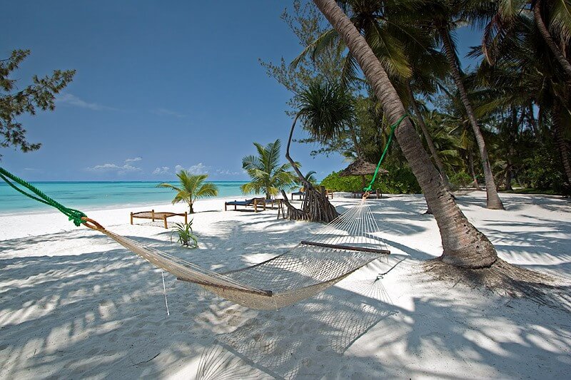
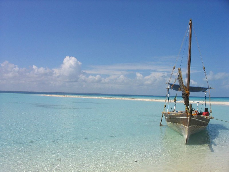
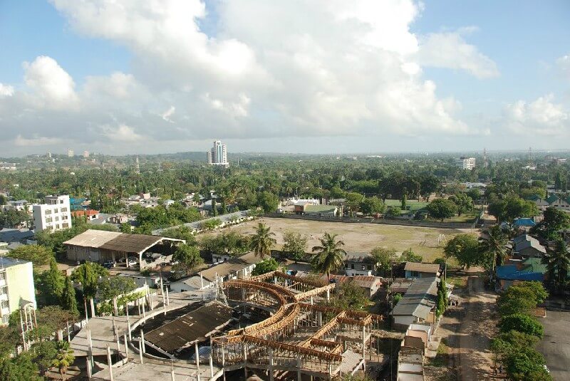
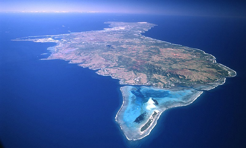
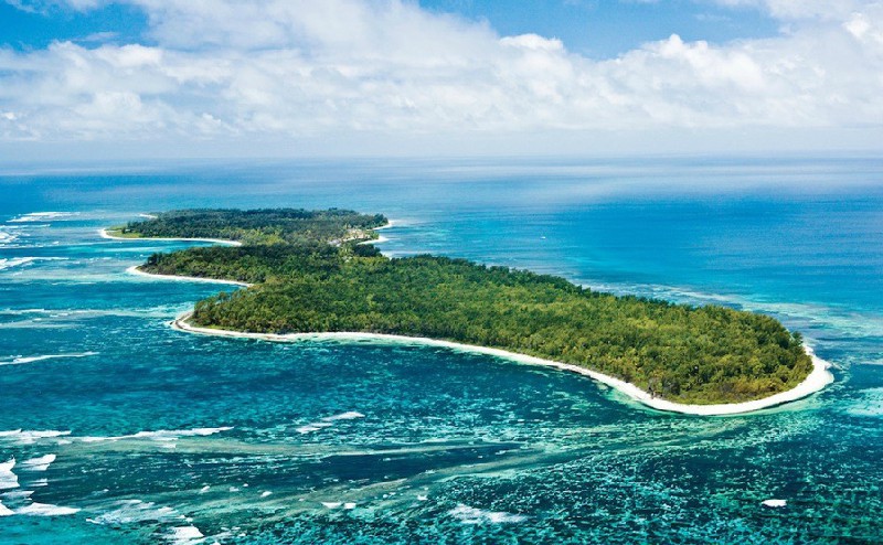
Rating: 7,9/10 (1200 votes) 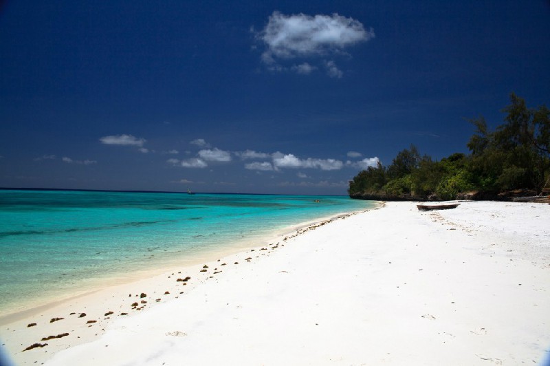 LocationPemba Island is a small island north of Zanzibar, part of the Zanzibar archipelago. The island's population is about 500 thousand people. The administrative center - the city of Chake-Chake. Pemba, like all the other islands of the Zanzibar archipelago, has come a long way from the rule of Portuguese colonists, Arabs, British, Germans to becoming part of the united Tanzania. The Arabs called Pemba"The Green Island" for its incredible natural beauty, and the island is also famous for the production of numerous spices. Until the 20th century and to this day people come here to learn the ancient art of healing. Getting to Pemba is easiest by air, the island has a small domestic airport called Chake-Chake. The flight from Dar es Salaam will take only 15-20 minutes. ClimateThe island is located in the equatorial monsoon climate zone. Unlike the continental part of the country, the island climatic zone has a subtype of marine. This gives a milder climate, higher relative humidity. Acclimatization for those who came from European countries on the island part of Tanzania will not be as painful as on the continent. It is very hot here most of the year, with the exception of 3 months of summer, which is always colder than winter in the southern hemisphere. The coldest month of the year is July. The temperature is lower at this time. Than any other month, but higher than July in mainland Tanzania. Average thermometer reading: +26 ° C. The island climate of Pemba differs from the mainland by the fact that it is not so cold here at night, and the temperature does not drop so sharply. The warmest months of the year in Pemba are 3 months of winter. Throughout all three months, the temperature is stably kept at around +31 ° C, and this is not an absolute maximum. Precipitation on the island of Tanzania has slightly different statistical data than on the mainland. The wettest month here is April, only for 30 days of April a third of the annual rainfall is about 300 mm. The drought season lasts from May to September, only if there is no precipitation on mainland Tanzania at this time, then on the islands about 30 mm a month.  We also recommend reading Geography and climate in Zanzibar Topic: Geography and Climate in Pemba. |