Lake Maninjau description and photos - Indonesia: Sumatra Island
Rating: 7,7/10 (1243 votes) 
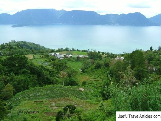
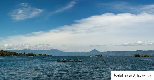
Lake Maninjau description and photos - Indonesia: Sumatra Island. Detailed information about the attraction. Description, photographs and a map showing the nearest significant objects. The name in English is Lake Maninjau. Photo and descriptionLake Maninyau is located 36 km west of the city of Bukittinggi, which is part of the province of West Sumatra. "Danau Maninyau" in translation from the language of the Minangkabau people means "to look from above, to observe." The lake is of volcanic origin and was formed as a result of a volcanic eruption that occurred approximately 52,000 years ago. The area of the lake is about 99.5 km2, approximately 16 km long and 7 km wide. The average depth of the lake is 105 meters, but sometimes the depth reaches 165 meters. The oval-shaped lake is located at an altitude of 480 meters above sea level. The water in the lake is fresh and there are many fish. On the western side of the lake is the Antokan River, excess water from the lake enters this river. Most of the people who live around Lake Maniniau, belong to the Minangkabau ethnic group. The population is engaged in the cultivation of rice, fruits (durian, jackfruit - Indian breadfruit, rambutan, langsat, Javanese apple), spices and fishing. Lake Maninyau is a popular tourist attraction in Sumatra due to its beautiful scenery and mild climate. The lake is famous among paragliding fans - you can fly at an altitude of 1200-1300 meters above sea level when the west wind blows. It is believed that for flights it is better to choose the time from May to September. You can also swim in the lake. In 1948 this lake was visited by the first president of Indonesia - Sukarno. He was fascinated by the lake and the surrounding landscape and wrote pantun, a short poem describing the beauty of the lake.    We also recommend reading Anatolian fortress (Anadolu Hisari) description and photos - Turkey: Istanbul Topic: Lake Maninjau description and photos - Indonesia: Sumatra Island. |


