Geography and climate in the Aland Islands
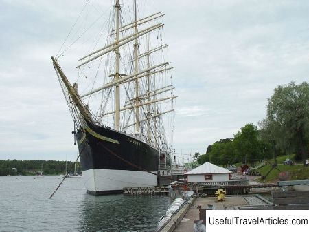
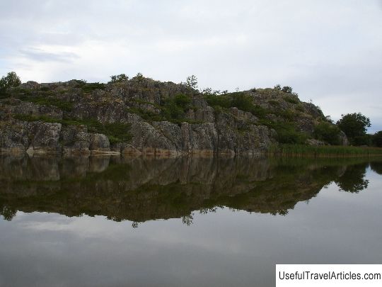
Rating: 7,5/10 (100 votes) 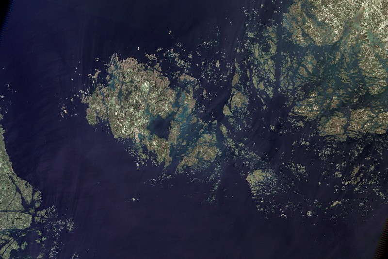 GeographyAland Islands is an autonomous province of Finland. It is an archipelago located in the south of the Gulf of Bothnia in the Baltic Sea. It includes 6500 islands, stretching 130 km from north to south. Of these, 60 are inhabited and about 6000 are considered uninhabited. The largest island is Aland. The capital of the archipelago, Mariehamn ("Mary's harbor"), is the country's third largest port. The Aland Islands are a"state within a state" with its government, parliament and citizenship. Various companies organize communication with the mainland of Finland. The archipelago can be reached by small ferries that run regularly. There are 2 most popular routes: the"northern" (Kustavi - Brande Island - the port of Hummelvik - Mariehamn) and the"southern" (Galtby - Korppoo - Chokar - Voglo - the port of Longnes - Mariehamn). Inside the archipelago they also run ferries. You can get around Mariehamn by buses (inside the city travel is free for everyone). There is an opportunity to rent a bicycle, a car and a moped (you need an international driver's license), a motor boat (you need experience in navigation and the skill of using navigation maps), water skiing. Time zone Aland Islands: GMT + 2 (- 1 hour to Moscow). ClimateThe climate on the Aland Islands is temperate, it is considered the warmest in all of Finland. The average winter temperature here is only -1 ... -4 ° C. The air here warms up much better than on the continent due to the influence of the Baltic Sea. The islands have a long mild autumn and a warm spring.  We also recommend reading Geography and climate in Tahko Topic: Geography and climate in the Aland Islands. |