Geography and climate in Riga
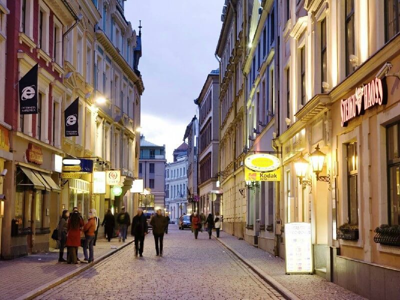
Rating: 7,7/10 (3810 votes) 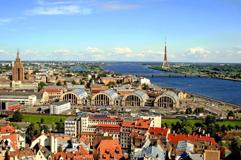 GeographyThe capital of Latvia and the largest city in the Baltic States is Riga. The city is located on the southern coast of the Baltic Sea and stretches along both banks of the Western Dvina (Daugava) River near the confluence with the Gulf of Riga. The capital is administratively divided into 6 districts. Getting to Riga is convenient by plane (flight time is about one hour and forty minutes). The city has an international airport that accepts flights from several major Russian cities. This is one of the most important airports in the Baltics. It is believed that the cheapest way to get to the capital of Latvia is by bus (travel time is about 10-14 hours from Moscow and St. Petersburg). Besides, you can get to Riga by train and by private car if you have the necessary documentation. You can get around the city by buses, trolleybuses, trams and taxis. Time zone of Riga: GMT + 2 (-1 hour from Moscow). ClimateClimate of Riga moderately warm, moderately humid, depending on the sea. Summer in the capital is rather cloudy, during the day the temperature here is around + 20 ... + 22 ° С, at night it drops to + 10 ... + 12 ° С. In winter the thermometer can rise to 0 ° C and drop to -8 ° C, there is snow for several months. 
We also recommend reading Geography and climate in Daugavpils Topic: Geography and climate in Riga. |