Geography and climate in Daugavpils
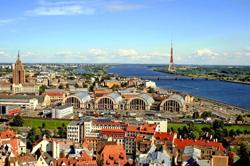
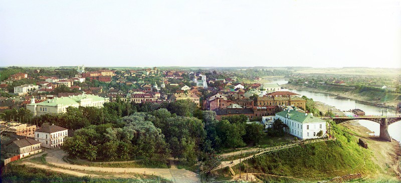
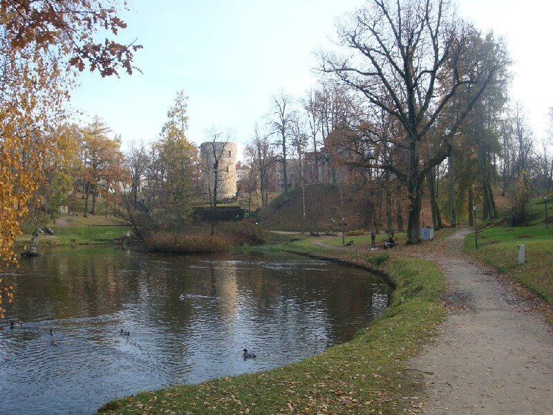
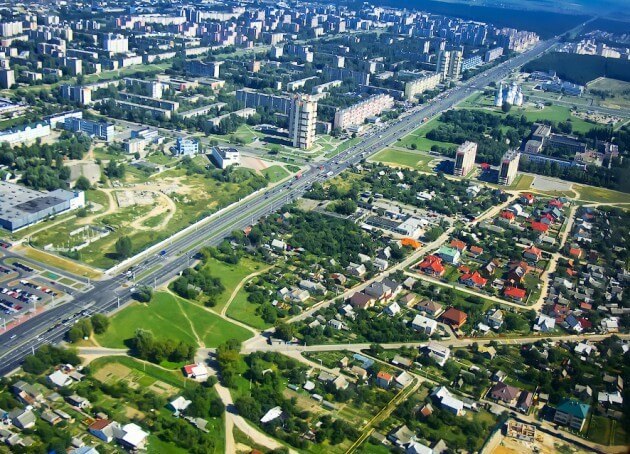
Rating: 7,5/10 (290 votes)  GeographyDaugavpils is the second largest city in Latvia, cultural, educational and industrial center of Latgale. It is located on the banks of the Western Dvina River in close proximity to the border with Lithuania and Belarus (south-east of the country). The administrative division of Daugavpils includes 25 districts. The city has a direct connection with Riga, St. Petersburg, Minsk and Vilnius. You can get to Daugavpils by train from Moscow (about 11 hours), by bus from Riga (about 3-3.5 hours away), Rezekne, Utena or by car. It is convenient to travel within the city by bus, tram, river transport and taxi. Daugavpils time zone: GMT + 2 (-1 hour from Moscow). ClimateSummer in the city is moderately warm with an average temperature of + 21 ... + 22 ° С during the daytime and + 10 ... + 12 ° С at night. In winter in Daugavpils it is quite cool, the thermometer usually does not exceed + 3 ° С, it can drop down to -10 ° С.  We also recommend reading Geography and climate in Havana Topic: Geography and climate in Daugavpils. |