Geography and climate in Jurmala
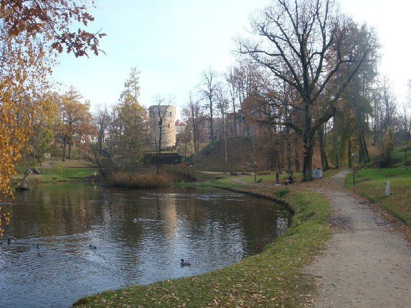
Rating: 7,6/10 (1704 votes) 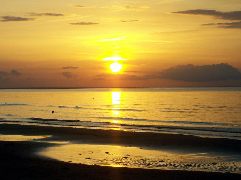 Geography and climateThe city of Jurmala is one of the most significant cities in Latvia. The distance from Jurmala to the city of Riga is 25 kilometers. You can get to Jurmala from Riga by train or car, the journey takes about 40 minutes. The length of Jurmala is 32 kilometers, the city is located on the territory between the Lielupe River and the Gulf of Riga. According to 2005 data, the population of Jurmala is 55 600 inhabitants. The city of Jurmala includes the following districts: Dzintari, Majori, Dubulti, Pumpuri, Melluzi, Asari, Vaivari, Sloka, Kauguri, Jaunkemeri, Kemeri, Lielupe, Bulduri, Valteri, Jaundubulti and Priedaine. The mild maritime climate of Jurmala determines short mild winters, the average air temperature in January-February is ?2 ° C. In July, the air warms up to +23 ° C during the day. The sea water is warmest here in August, its average temperature is also +23 ° C. The greatest amount of precipitation falls in these places in August, September and October. The time zone of Jurmala is GMT + 2 (-1 hour from Moscow).  We also recommend reading Geography and climate in Sigulda Topic: Geography and climate in Jurmala. |