Geography and Climate in Kiruna
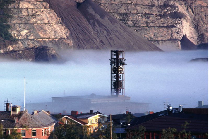
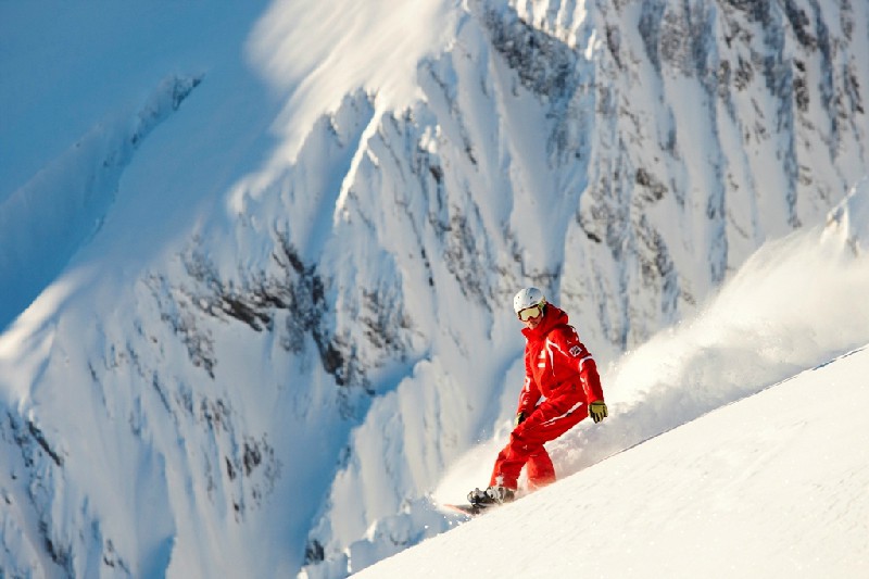
Rating: 8,4/10 (6695 votes) 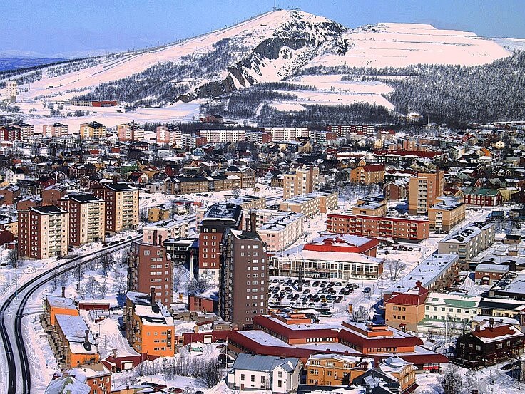 Kiruna is a city in the north of Sweden, located 140 kilometers from the Arctic Circle. Until 1948, it was a miners' village at the mine, which later became the world's largest iron mine. Now Kiruna is an interesting point on tours in Northern Europe, as a city with a peculiar architecture and a number of attractions. People get to Kiruna from Stockholm by train or domestic flights. The second option will be the fastest, but also the most expensive, since the flight schedule for this direction is not the most popular even among the Swedes. Other options for travelers from Russia may be in the form of connections in Norway or Finland, since Kiruna is equidistant from the borders with its Scandinavian neighbors. Kiruna's climate is of the subarctic type, in the city there is a pronounced polar day, from May to July, and a slightly unstable polar night. Summers in Kiruna are short and harsh, although there may be atypical warming by August. The polar night most often lasts from December to mid-January, on these days the sunlight rises over Kiruna for literally a few minutes during twilight. The average winter temperature is -13 ° C, although during the winter months more severe frosts may occur. The lowest temperature recorded in Kiruna is -42 ° C. A plus temperature and finally melted snow is observed in the city only by mid-May, while the warmest month of the year is July, when warming up to +20 ° C is possible. Even when you come to Kiruna in summer, you should remember that the city, located in subarctic latitudes, it can unpleasantly surprise with its weather. Locals immediately warn tourists that even in summer it can start snowing.  We also recommend reading Geography and Climate in Uppsala Topic: Geography and Climate in Kiruna. |