Agurskie waterfalls description and photos - Russia - South: Matsesta
Rating: 8,8/10 (900 votes) 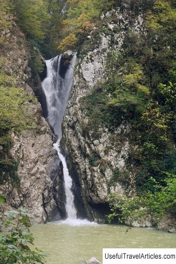
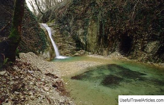
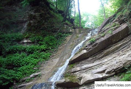
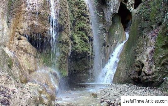
Agur waterfalls description and photos - Russia - South: Matsesta. Detailed information about the attraction. Description, photos and a map showing the nearest significant objects. Photo and descriptionThe tourist route to Agursky waterfalls begins with a fork in the roads: to Mount Akhun and along the Agura river. The height of the famous Agursky waterfalls is: upper 21 meters, middle 23 meters, lower 30 meters. The lower waterfall (the first on the way of sightseers) consists of two cascades of 18 and 12 meters. The waterfall is clearly visible from the bridge. Here you can swim in a small lake with clean and cold water. True, during the rainy season, the water is cloudy. The second waterfall is not visible from the trail. The upper waterfall also deserves the attention of tourists: water falls down with beautiful streams from a great height. The fast Agura River, famous for its picturesque waterfalls, flows along the bottom of the gorge. The path to the waterfalls was cut in the rocks back in 1911. On the way, you can see a small gloomy reservoir, surrounded by sheer cliffs. This is the so-called Devil's Font. In the rock there is a hole in the cave, Devil's hole. Going further along the trail, you can see the lower, most beautiful waterfall. The jet from it falls into the lake, where everyone willingly swims with pleasure on a hot day. Then the trail leads to the upper waterfall. The middle waterfall is poorly visible. The height of the upper waterfall is 21 m, the middle one is 23 m, the lower one is 30 m. Higher still, where the Agura meets its tributary, the Agurchik, the path divides. The left one leads to the Eagle Rocks, and the right one leads to Mount Akhun.           We also recommend reading Arcadia description and photo - Ukraine: Odessa Topic: Agurskie waterfalls description and photos - Russia - South: Matsesta. |
