Piz Alv mountain description and photos - Switzerland: Andermatt
Rating: 8,2/10 (5455 votes) 
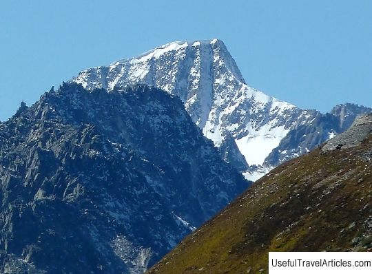
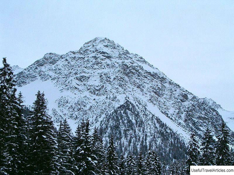
Piz Alv mountain description and photos - Switzerland: Andermatt. Detailed information about the attraction. Description, photographs and a map showing the nearest significant objects. Title in English - Piz Alv. Photo and descriptionPiz Alv is a mountain east of Innerferrera, a Swiss commune in the canton of Graubunden. Its height reaches 2854.5 meters above sea level. Piz Alv belongs to the Piz Grisch mountain range, which is part of the Oberhalbstein Alps. The border of the communes of Ferrera and Riom Parsonz passes through the summit. In the northeast, the slope connects with the Val Schmorras mountain, in the south with the Starler Val and in the northwest with the Mos Alps. Piz Alva's neighbors are Piz Settember, Piz Metz, Piz Guggernul and Piz Grisch mountains. In the valley are the settlements of Ausserferrera and Innerferrera. The path to the top of the mountain most often begins in the village of Radons, located at an altitude of 1866 meters above sea level. Climbers use several routes for climbing. The first of them runs along the eastern slope and starts in Radons, runs through Shmorras, lasts about 3.5 hours and is considered to be of medium difficulty. The more difficult route starts in Innerferrera and takes 3 to 4 hours. And for beginners, it is better to take the easiest route, starting in Ausserferrer, passing through the Mos Alps and taking about 4.5 hours.       We also recommend reading Greek Catholic Church of the Assumption of the Blessed Virgin Mary description and photo - Ukraine: Mukachevo Topic: Piz Alv mountain description and photos - Switzerland: Andermatt. |
