Pizzo Prevat mountain description and photos - Switzerland: Andermatt
Rating: 8,2/10 (2930 votes) 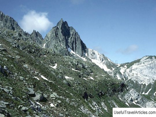
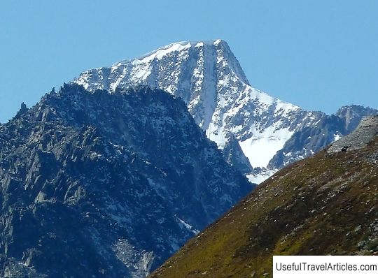
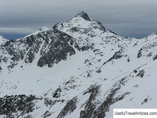
Pizzo Prevat description and photos - Switzerland: Andermatt. Detailed information about the attraction. Description, photographs and a map showing the nearest significant objects. Title in English - Pizzo Prevat. Photo and descriptionMount Piz Prevat (its Italian name is Pizzo Prevat) is located in the Lepontine Alps on the border of the two Swiss cantons of Uri and Ticino. Its peak is located at an altitude of 2876 meters above sea level, and from it to the foot there are three pronounced ridges - north-west, north-east and south. The north-western ridge connects to the Rothstockluke mountain, and the famous Schatzfirngletcher glacier is located on the northern slope. The neighbors of Piz Prevata are the Rothstock mountains (its height is 2858 m) and Pizzo Centralle (3000 meters), as well as the Giyubin peak (2776 meters above sea level), separated by the Passo della Sella pass. From the southern slope of Piz Prevat to the famous Saint Gotthard Pass, the distance by air is only 5 kilometers. In mountaineering circles, Pizzo Prevat is considered a fairly easy object to climb. The ascent is usually carried out along one of three ridges. The first conqueror of the mountain peak is the Englishman William August Coolidge, who climbed with the guide Christian Almer Jr. in 1892. Currently, only a few groups are sent to conquer only Piz Prevat. Usually, the ascent to this mountain becomes only part of the route, continuing the transition to the neighboring mountains. The most popular is the trail that starts at Mount Ospizio San Gottardo in the west. In this case, tourists immediately reach an altitude of 2091 above sea level and the ascent along the southern slope takes them a little less than three hours. The most difficult route is along the northeastern ridge, such an ascent requires not only rich experience, but also special mountaineering equipment.      We also recommend reading Vucje description and photos - Montenegro: Kolasin Topic: Pizzo Prevat mountain description and photos - Switzerland: Andermatt. |