Black River Gorges National Park description and photos - Mauritius: Southwest Coast
Rating: 7,9/10 (398 votes) 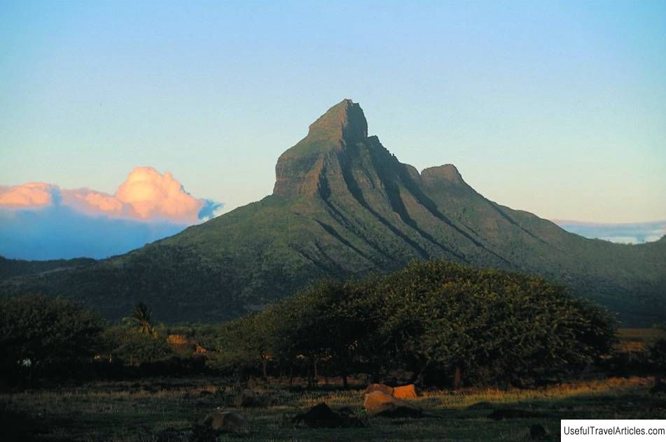
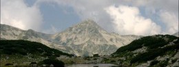
Black River Gorges National Park description and photos - Mauritius: Southwest Coast. Detailed information about the attraction. Description, photographs and a map showing the nearest significant objects. The name in English is Black River Gorges National Park. Photo and descriptionThe highest mountain of the island of Mauritius is Riviere Noir (or Piton de la Petit), more than 800m high, as part of a volcanic plateau located in the Black River State National Park -Gorges. The area of the park is about 66 square kilometers, since 1977. it is included in the list of natural biosphere reserves, includes a part of the Black River canyon in the east, over the Pirin plateau, the Tamarinsky gorge to the waterfalls of the same name, the Bris-Fer mountain ranges and the Mgenta descent. The gorge and the sloping part of the plateau - the Mgent escarpment go down to sea level, while the average height of the reserve is 55-60 m. The beautiful plateau and foothills covered with tropical greenery attract travelers and hunters (during certain periods, shooting of some ungulates is allowed). Numerous waterfalls, wetlands with flowering lilies, picturesque peaks and slopes with paved hiking trails provide an opportunity to see rare species of plants and animals. Some of them grow and live exclusively in the reserve, that is, they are endemic: ebony, tambalakoke, lizards and geckos. Mount Piton is a great place for panoramic shots of waterfalls. The Grand Bassen Lake in the former crater of an ancient volcano, which is considered sacred by the Hindus, is noteworthy. water from the Ganges was brought into it. On the shore of the lake, the Ganga Talao temple was built and the statues of Shiva and Anuamang were installed. For walking tours, 60 km of roads are offered in relict forests, miraculously preserved during the mass felling. The inhabitants of the national park are monkeys, wild pigs, deer and native bird species.     We also recommend reading Lakemba Island description and photos - Fiji: Northern District Topic: Black River Gorges National Park description and photos - Mauritius: Southwest Coast. |