Cradle Mountain - Lake St. Clair National Park description and photos - Australia: Tasmania
Rating: 8,6/10 (2785 votes) 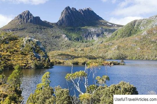
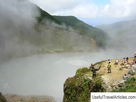
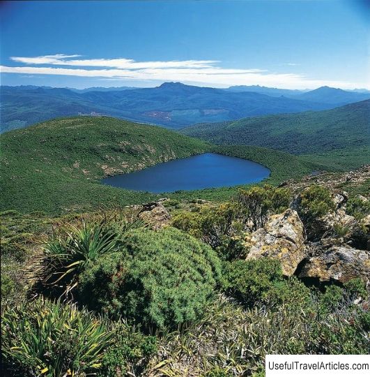
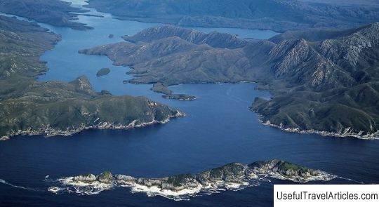
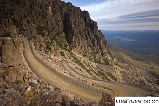
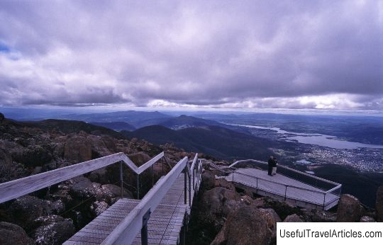
Cradle Mountain - Lake St. Clair National Park description and photos - Australia: Tasmania. Detailed information about the attraction. Description, photographs and a map showing the nearest significant objects. The name in English is Cradle Mountain - Lake St. Clair National Park. Photo & DescriptionCradle Mountain Lake St. Clair National Park is located in the Central Highlands of Tasmania, 165 km northwest of Hobart. There are many hiking trails throughout the park, and this is where the famous Overland Track begins. The park's main attractions are Cradle Mountain and Barn Bluff to the north, Pelion East, Pelion West, Oakley Mountain and Ossa Mountain in the center, and St. Clair Lake to the south. Since 1982, the park has been part of the UNESCO World Heritage Site "Wildlife of Tasmania". The park's territory is unusually rich in endemic species - 40-55% of the alpine flora of the park is not found anywhere else in the world. Among the animals in the park are wallabies, speckled martens, Tasmanian devils, echidnas, wombats, possums and other Australian species. 11 out of 12 endemic bird species are registered here. The first European to visit the park in 1910 was Gustav Weindorfer. He purchased a piece of land here and in 1912 built a small guest chalet, which he named Waldheim, which means "forest house". Unfortunately, that chalet has not survived to this day - it burned down in a fire. But in 1976, a replica of Waldheim was built here in the Cradle Valley, which still receives tourists today. By the way, it was Gustav Weindorfer and his wife Keith who actively advocated giving this territory a protected status. In 1922, the 64,000-hectare area between Cradle Mountain and Lake St. Clair was declared a nature reserve, and in 1971 - a national park. In 1935, a 6-day Overland Track was laid through the park, which they began to conduct tours and which brought the park extraordinary popularity for its breathtaking views. The rugged contours of Cradle Mountain, ancient rainforests and alpine meadows, picturesque beaches and unspoiled wildlife are the park's main treasures. To explore the park, take the 2-hour trail to Dove Lake, which leads to the foot of the majestic Cradle Mountain. Experienced travelers will love the world famous Overland Track, which stretches for 65 km and leads from Cradle Mountain to Lake St. Clair, Australia's deepest lake (167 meters). The natives called him "Liavulina", which means "sleeping water".         We also recommend reading Voitsky copper mine description and photos - Russia - Karelia: Segezha district Topic: Cradle Mountain - Lake St. Clair National Park description and photos - Australia: Tasmania. |