Orizaba (Pico de Orizaba) description and photos - Mexico
Rating: 9,0/10 (1223 votes) 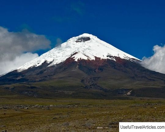
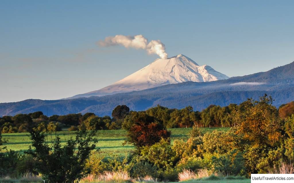
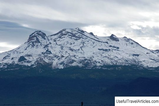
Pico de Orizaba description and photos - Mexico. Detailed information about the attraction. Description, photographs and a map showing the nearest significant objects. The title in English is Pico de Orizaba. Photo and descriptionOrizaba volcano or, as it is also called in the Aztec language, Sitlaltepetl ("star mountain") deservedly bears the title of the highest point in Mexico, its relative height - 4922 m. According to GPS data - 5636 m Today the volcano is at rest, but in the past centuries there have been several eruptions. The latter - in the 19th century. Difficult relief, altitude, strong winds - all this gave rise to several climatic zones on the volcano. At its foot, there is mainly tropical vegetation, higher up it looks more like Alpine. On the east side, the mountain is often flooded with rains brought by winds from the Gulf of Mexico. It is often foggy, and about 1600 mm of precipitation falls annually. Autumn and winter are snowy here, but in the south and southeast the snow melts quickly in the sun. As a rule, tourists get to Orizaba from Puebla by bus to the village of Tlachichuca, which is located not far from the resting giant. No permits are required to climb Orizaba. The most popular month for climbing is December. The dry period is from November to April. The ascent will take 6-10 hours and another 3-4 hours for the descent. Technically, the route is not difficult (category 2A). They begin to ascend more often at night, in order to be at the top until noon. Start - from the Piedra Grande shelter. The first 1.5-2 hours of the route pass along a rocky path. The second part of the path is through snow and ice between stones and rocks. The next 4 hours - on an open ice field. It is important to stock up on water, at least up to an altitude of 4900 meters, where it can be obtained from snow and ice.     We also recommend reading Tara River Canyon description and photos - Montenegro Topic: Orizaba (Pico de Orizaba) description and photos - Mexico. |
