Geography and climate in Ko Pha Ngan
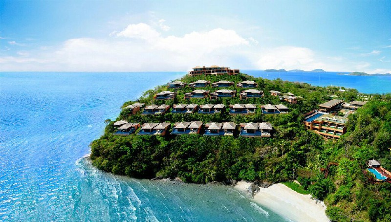
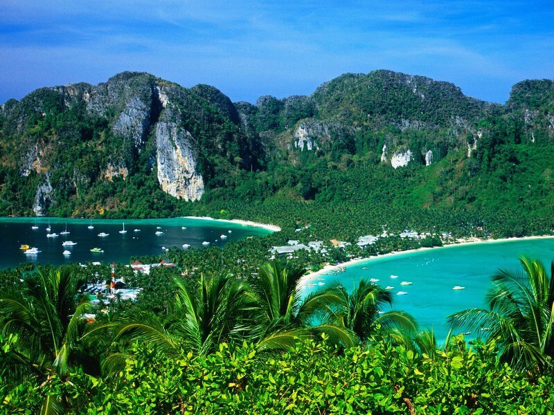
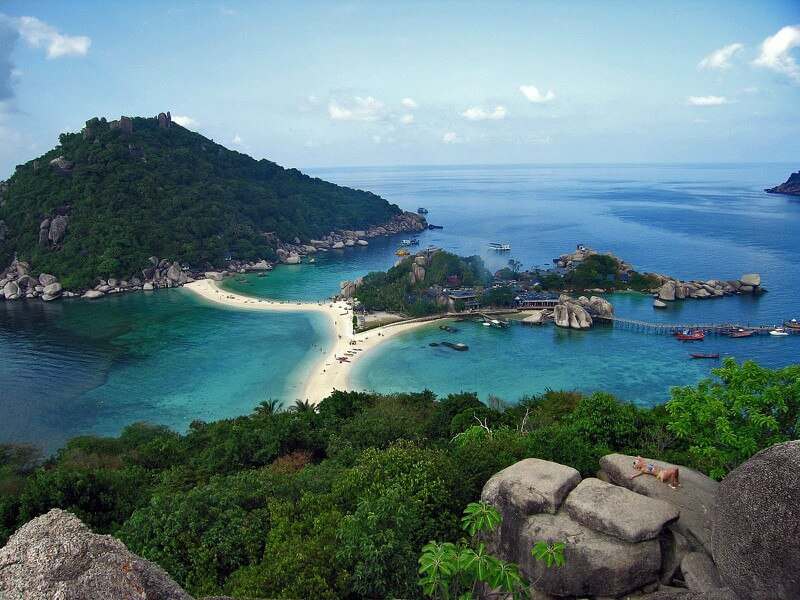
Rating: 9,0/10 (4996 votes) 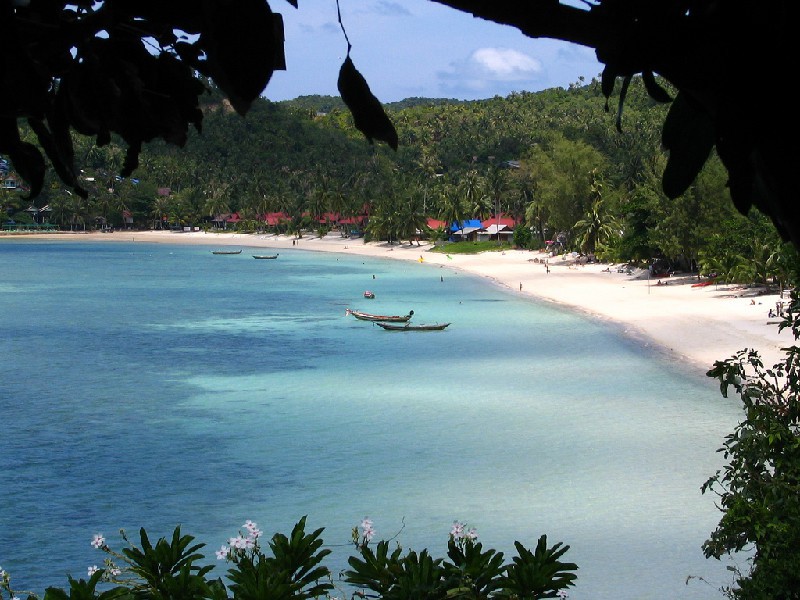 LocationPhangan is a resort in Thailand, washed by the waters of the Gulf of Thailand. The island is located 55 km from the mainland. Its total area is 168 km?. About 70% of the resort area is covered with tropical forests and mountains. The rest of the island is home to coconut farms and beaches. Connections to nearby islands and the mainland are via ferries. At the Bangkok Bus Terminal, you can buy a single pass valid for bus and ferry services. Two-wheeled carriages (motorcycles and motor scooters) are a popular means of transportation on the island. Phangan time zone: + 7 GMT (+3 hours to Moscow). ClimateIn Ko Pha Ngan, the weather is tropical monsoon. The seasons here are divided into 2 seasons: dry and wet. The average annual air temperature is +28 ° C, its minimum level was recorded at around +20 ° C. The greatest inconvenience is caused by the change of the wet and dry seasons. The dry season lasts from February to April. It rains very rarely and very briefly at this time.  We also recommend reading Geography and climate in Lanta Topic: Geography and climate in Ko Pha Ngan. |