Geography and Climate in Hua Hin
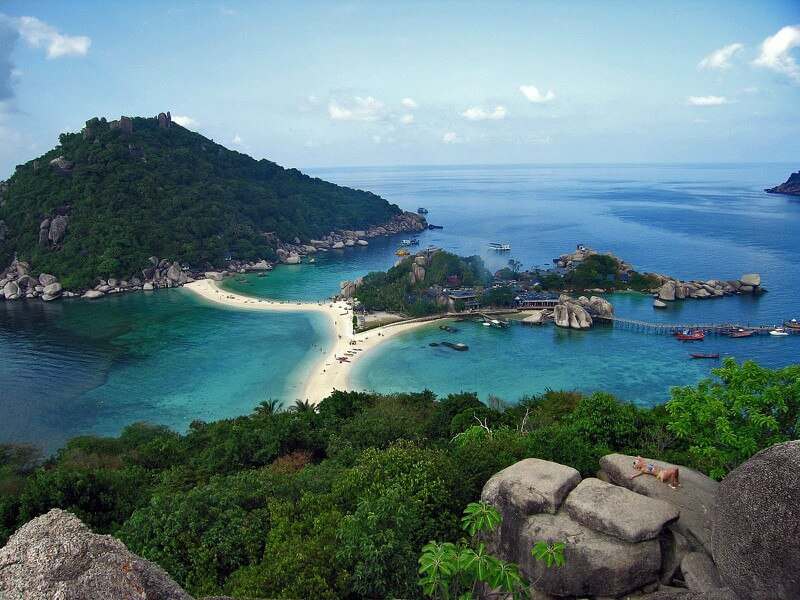
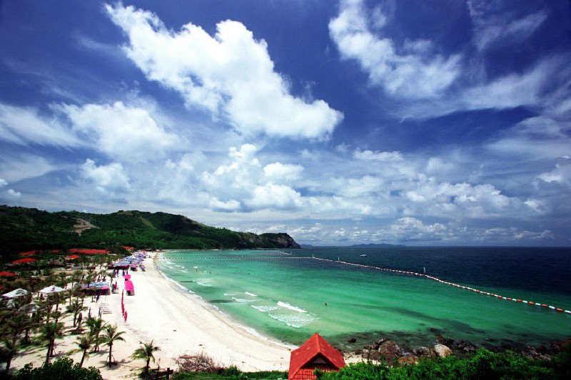
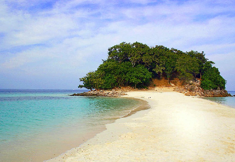
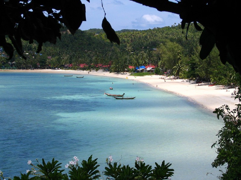
Rating: 8,4/10 (2135 votes)  LocationHua Hin (translated from Thai “stone head”) is the oldest island resort in the Kingdom of Thailand. It is located 25 km from the Cha Am resort, on the shores of the Gulf of Thailand. The distance to it from Bangkok (200 km) can be covered in 3.5 hours by car, train or bus. The borders of Hua Hin are very vague, as it is adjacent to small areas and satellites, the most popular of which are the beaches of Khao Tao and Khao Takiab. Until 1920, Hua Hin was a small fishing port. Today the resort is a favorite vacation spot for the royal family. Back in the days of Rama VII, a palace was built here, which was named Klai Wangwon ("Far from worries"). Hua Hin is famous for its clean white sandy beach, which stretches for 5 km along the coast of the Siam Sea, as well as numerous golf courses. Hua Hin time zone: GMT + 7 (+3 hours to Moscow) ClimateHua Hin is dominated by a tropical climate zone. It's always sunny here. The average annual temperature rarely drops below + 26 ° C. The resort has 3 seasons: hot, cool and rainy. The cool season is from December to March. During this period, Hua Hin has clear, sunny weather, which is most comfortable for Europeans. The rains here are fast and rapid. Thunderclouds disappear within minutes of the rainstorm.  as well as numerous golf courses. Hua Hin time zone: GMT + 7 (+3 hours to Moscow) We also recommend reading Geography and climate in Rayong Topic: Geography and Climate in Hua Hin. |