Geography and climate in Batumi
Rating: 9,3/10 (8315 votes) 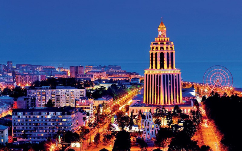  Batumi Batumi – Georgian Black Sea resort with a long history. It is located in the western part of Georgia, in the Autonomous Republic of Adjara, on the wide coast of the Batumi Bay, which, in turn, adjoins a wide strip of the Kakharb Lowland. The city itself, in addition to the sea quarter, also has a river watershed created by the rivers Korolistskali and Bartskhana. The city belongs to the lowland settlements of Georgia – the maximum height above sea level in tourist quarters does not exceed 3 meters. The population of Batumi in 2015 is 154 000 people. Most of them – Georgians. Russians and Armenians are roughly equal, although in percentage terms they are an absolute minority. The easiest way to get to Batumi is by plane. Throughout the summer, several flights a week depart from Domodedovo airport to this Georgian resort. There are also a lot of route options with transfers in Tbilisi, but they will take twice as long. A direct flight from Moscow takes about 2.5 hours. IMPORTANT: The distance between Tbilisi and Batumi is at least 380 kilometers along the shortest route. For this reason, buses from the Georgian capital run extremely rarely, it is easier to buy a train ticket. Climatic zone of Batumi – these are typical subtropics with a clear division into seasons and a fairly high humidity. Summers in the city are hot and relatively rainy, but precipitation peaks between August and December. It is usually cool in winter, but free from frost. 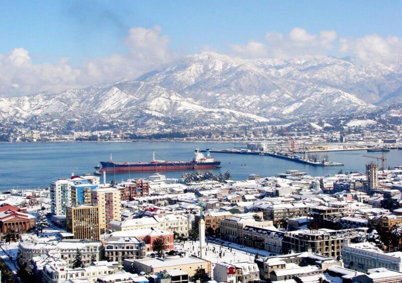 Batumi in winter The average temperature in June-August is +26 o C in the shade, although the air can cool down at night to +16 o C. In winter, the average thermometer is set at around +4 o C; on extremely cold days, frosts up to -1 o C are possible. Snow for Batumi – very rare even in the coldest winter. but precipitation peaks between August and December. It is usually cool in winter, but free from frost. We also recommend reading Geography and climate in Tbilisi Topic: Geography and climate in Batumi. |
