Geography and Climate in Busan
Rating: 8,4/10 (7156 votes) 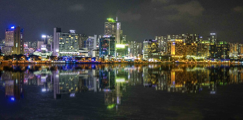 Geography Busan is the largest port in South Korea and one of the largest ports in the world. It is the second largest city in South Korea after the capital. Located in the southeastern part of the Korean Peninsula on the side of the Korea Strait. The city is most densely populated on the square between the Suyeongan and Naktong rivers. Administratively Busan is divided into 15 districts -"ku" and one county -"kun". You can get to Busan via Seoul. You need to take a flight to the capital, which will take about eight and a half hours if you fly from Moscow. From Seoul to Busan easy to reach by train (3-4 hours). Direct communication with Busan exists in the Far East. From there, you can also get there by sea. This South Korean city is a major transport hub. You can navigate it by subway, buses, taxis, as well as water transport - there are water trams. Busan time zone: GMT + 9 (+5 hours to Moscow). Climate The city is located in a zone of subtropical climate. In summer there is wonderful warm weather with an average temperature of + 24 ... + 29 ° С during the daytime and +18 … + 23 ° С at night. In winter, Busan is cool and dry, there is practically no snow, the thermometer fluctuates around the mark + 8 ... + 10 ° С during the day and -4 ... -6 ° С in the dark. The rainiest months are July and August. The weather is usually colder off the coast.  We also recommend reading Geography and Climate in Hyundai Songgu Topic: Geography and Climate in Busan. |