Geography and climate in Tabarka
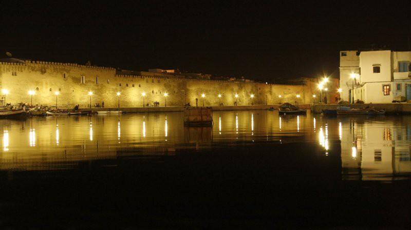
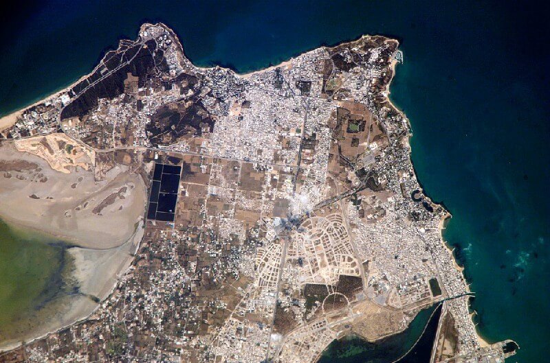
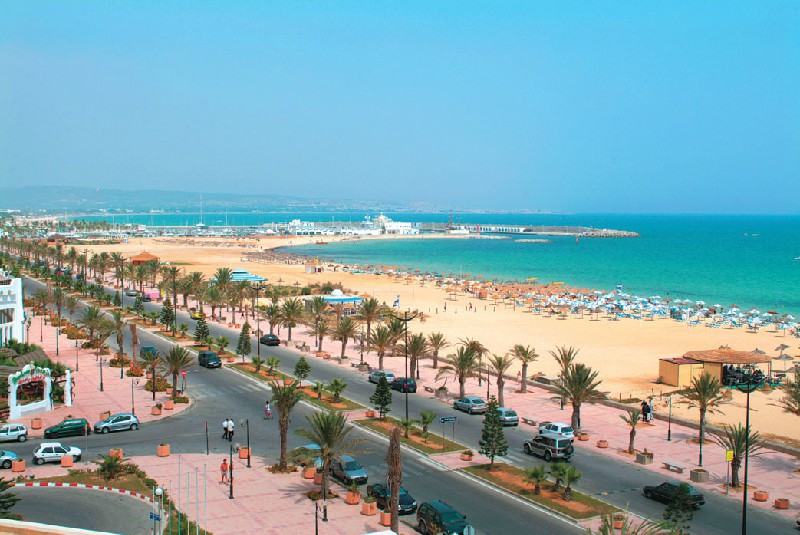
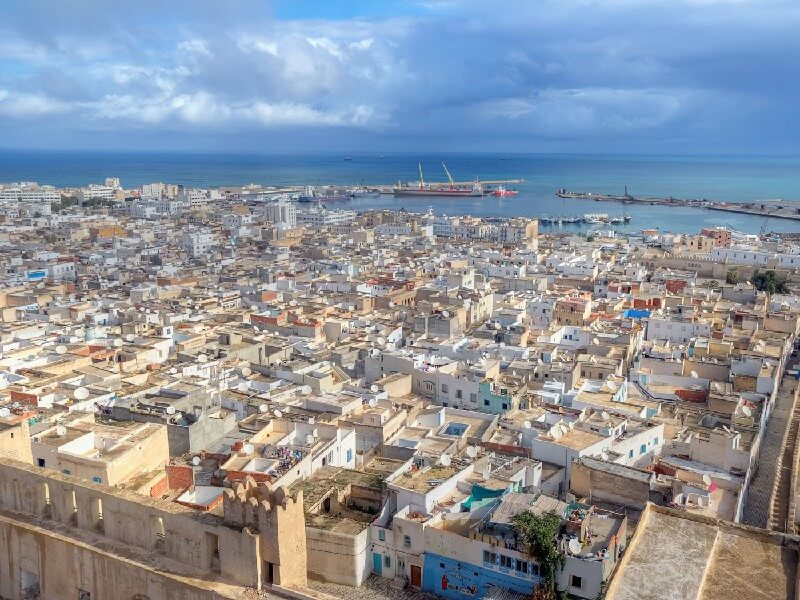
Rating: 8,3/10 (7238 votes) 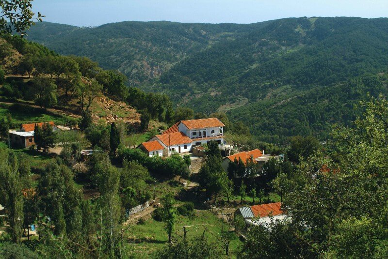 Geography and climateTabarca is a city in the northwestern part of Tunisia, located near the border with Algeria (20 km away), at the foot of the Atlas Mountains near the sea. The name"Tabarka" means"Place covered with bushes." The city is the most important fishing port. According to 2004 data, the city is home to about 16,000 people. The climate in Tabarka is subtropical Mediterranean, with rainy warm winters and hot dry summers. In the coldest months - January and February - the night temperature drops to +5 ° С at night and +15 ° С during the day. In summer, the air warms up to +35 ° C during the day. The wettest period in Tabarka is from October to February, the driest is from July to August. The best time for swimming is from May to October, at which time the water warms up well, and its temperature does not drop below +20 ° C. The resort is famous for fishing. The coastal waters are home to lobsters, lobsters, giant king prawns and many other fauna. Tabarka is surrounded by hills covered with pine and oak groves. The nature here is beautiful and the air is clean. An international airport is located 15 km from the city. Tabarka local time: GMT +1 (-3 hours to Moscow)  We also recommend reading Geography and climate in Mahdia Topic: Geography and climate in Tabarka. |