Geography and climate in Bizerte
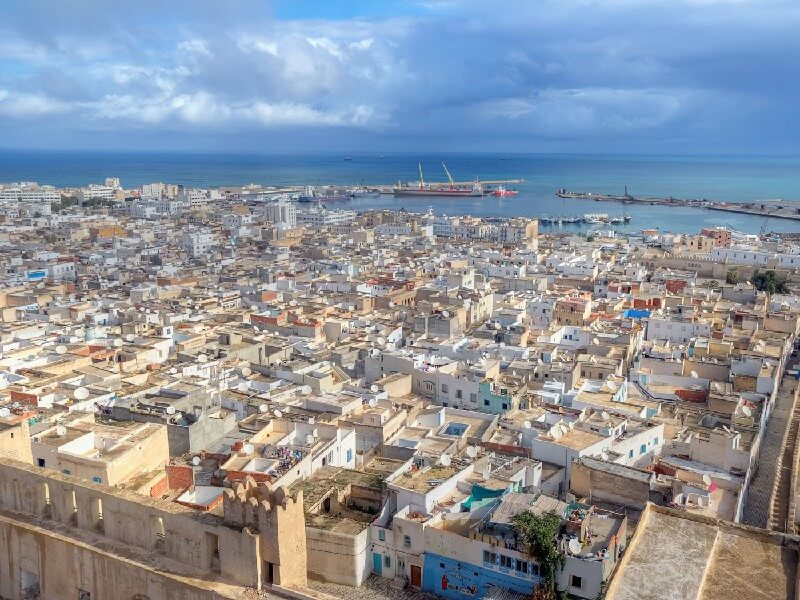
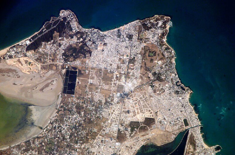
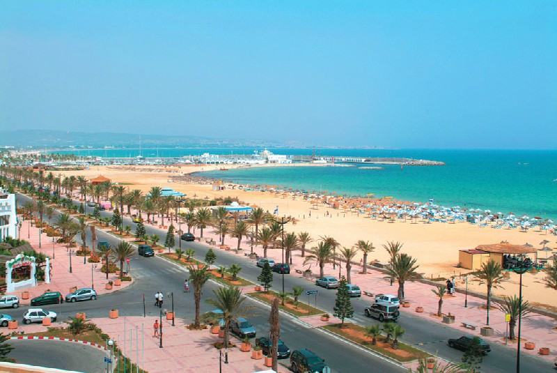
Rating: 7,7/10 (790 votes) 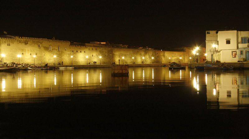 Geography and climateBizerte is located in the northwestern part of Tunisia, near Cape Blanco, 65 km from the capital, next to the large Bizerte lake. It is the second largest city on the north coast after Tunisia. The city was founded in the 1st century BC by the Phoenicians and since then has been the most important port of the country. Bizerte is surrounded by dense forests growing on the slopes of an extinct volcano. The sea is rich in reefs. Climate Bizerte is Mediterranean subtropical. Winters are rainy and mild here, summers are hot and dry. The coldest months are January and February. The nighttime temperature drops to +6 ° C, the average daytime temperature is +15 ° C. The hottest months are July and August. The temperature at night these days is kept at around +20 ° C, daytime rises to + 34 ... +38 ° C. It rains from October to February, with the driest in July and August. The swimming season lasts from May to November, the water temperature at this time is always above +20 ° C. The nearest airport is in the capital of the country - the city of Tunisia. Local time Bizerte: GMT: +1 (-3 hours to Moscow)  SHOW YET We also recommend reading Geography and climate in Tabarka Topic: Geography and climate in Bizerte. |