Eungella National Park description and photos - Australia: Mackay
Rating: 8,2/10 (940 votes) 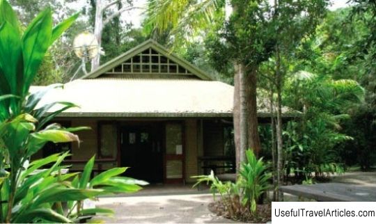
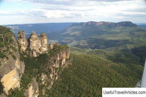
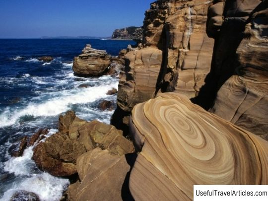
Eungella National Park (Eungella National Park) description and photos - Australia: Mackay. Detailed information about the attraction. Description, photographs and a map showing the nearest significant objects. The name in English is Eungella National Park. Photo and descriptionAn hour's drive west of McCoy is the Eungella National Park - the longest and oldest section of subtropical rainforest in Australia, stretching over 52,000 hectares. Translated from the language of the local indigenous tribe Goreng Goreng, "Eungella" means "the land where the clouds cling to the mountains." Several settlements are located on the territory of the park, founded in 1936. The park has 22 km of boardwalks for backpackers, and the Makkai Great Mountain Way invites park visitors to enjoy the breathtaking views of the Pioneer River Valley. The Broken River, which runs through the park, is a prime spot for watching the shy platypus, an amazing animal found only in Australia. The best time for this is early morning and evening, as well as cloudy days. Other interesting inhabitants of the park include a “caring” frog and honey sucker, as well as a huge number of birds. In the depths of the park there is a dam and a lake of the same name, where you can swim and fish. Another interesting attraction of the park is Dalrymple and William Peaks, each of which has the same height - 1259 meters. These mountains are the western border of the Pioneer River Valley. Despite the fact that the park "Eungella" is located in the subtropics, snowfall was recorded here in 1964 and 2000.      We also recommend reading Nottingham Castle description and photos - Great Britain: Nottingham Topic: Eungella National Park description and photos - Australia: Mackay. |
