Yagul site description and photos - Mexico: Oaxaca
Rating: 8,2/10 (1010 votes) 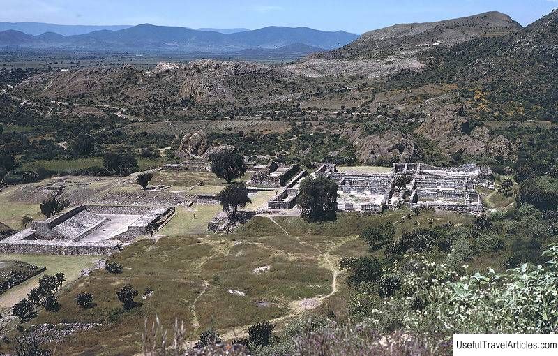
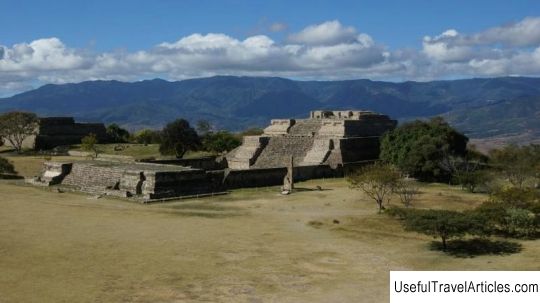
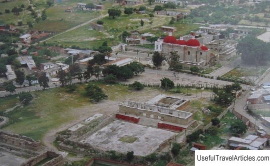
Yagul settlement description and photos - Mexico: Oaxaca. Detailed information about the attraction. Description, photographs and a map showing the nearest significant objects. The title in English is Yagul. Photo and descriptionThe settlement of Yagul is a former pre-Columbian city-state of the Zapotecs. Now archaeological excavations are taking place here, so it can be called the Yagul archaeological zone. It is located in the south of Mexico, 36 km southeast of the city of Oaxaca de Juarez. From the language of the Zapotek Indians, the word "Yagul" is translated as "Old log" or "Old trunk". People began to develop the land in the Yagul region in the third millennium BC. e. The first buildings of the Yagul settlement appeared in the 6th-7th centuries, and the peak of active construction fell on the so-called classical Mesoamerican period, that is, in the years 900-1520. After the fall of the Indian city of Monte Alban, dominant in the Oaxaca Valley, in the 8th century AD, a struggle for power over the region broke out among other nearby cities. Yagul at that time occupied a strategically convenient place - it was located on an artificial hill and was well fortified to withstand the pressure of troops from neighboring cities. The Yagul settlement area consists of three parts. Its central sector includes temples and palaces, over which the acropolis with a fortress and a high tower rises, from where a magnificent view of other cities in the vicinity of the settlement opens. If you climb the tower, you can see the entire Oaxaca Valley. From the west, south and east, the central part of the city is surrounded by the houses of ordinary citizens of Yagul. The local ball court is considered the second largest in the entire Mesoamerican region. The largest field is located in the Chichen Itza complex on the Yucatan Peninsula.      We also recommend reading Graben description and photos - Austria: Vienna Topic: Yagul site description and photos - Mexico: Oaxaca. |
