Uksunjoki river description and photos - Russia - Karelia: Suoyarvsky district
Rating: 8,6/10 (7996 votes) 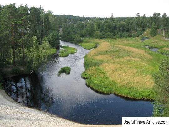
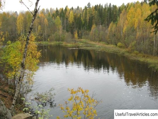
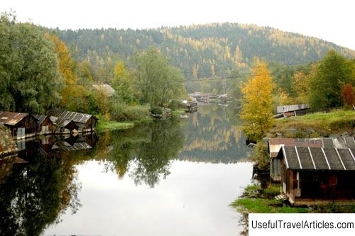
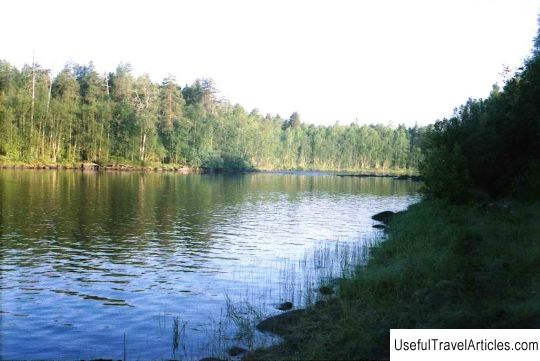
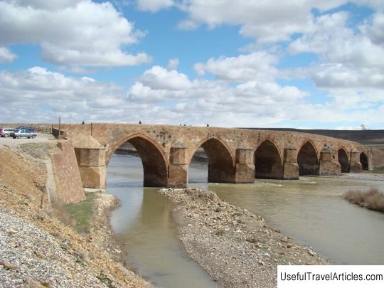
Uksunjoki river description and photos - Russia - Karelia: Suoyarvsky district. Detailed information about the attraction. Description, photos and a map showing the nearest significant objects. Photo and descriptionThe Uksunjoki River is one of the most difficult and interesting rivers in Karelia. The river basin is located in Lake Ladoga. It flows through the territory of the Pitkyaranta and Suoyarvi regions. The river originates 50 km north of the koski district, and flows into Ladoga near the village of Uuksu. The total length of the river is 150 km, width - 10-50 m. The main tributaries of the river are: Kaartajoki, Pensanjoki, Mustajoki, Urmanjoki, Uomasoja. The Uksunjoki River flows through a sparsely populated area, and on its way there are only two villages: Uuksu and Raikonkoski. A distinctive feature of the river is that it practically does not meet lakes on its long journey; it is not a chain of lakes connected by channels. The end of the river is accompanied by four powerful falls, each of which is more difficult than the previous one. For skiing or training of this kind, rapids-waterfalls are not suitable due to excessive power and danger. As for the river as an object for active recreation, Uuksa is especially diverse. The river is fed by swamps and lakes, and its level largely depends on the climatic conditions of the coming season. The Uksunjoki River has the third category of difficulty. Among tourists, the last 15 km of the river are of particular interest, because it is in this place that there are five powerful rapids of the third or higher category of difficulty. The upper section of the river is not so interesting, but nevertheless, along its length there are numerous rifts and simple rapids. It is best to pass the river during the period of "high water" and flood from May to June-month. Any means for rafting will do. The first rapids called "Pink Elephant" or "Paw" are considered the most important attraction of the Uuksy River. At this point, the river turns to the right and bifurcates into two powerful streams, along one of which tourists must choose their route. Then tourists will have to pass the Melnitsa rapids. The ruins of a water mill are located on the right bank. The water drops here are about 3 m. Immediately behind the "Mill" there is the "Canyon" rapids, which is located in the place where the river narrows significantly and sharply. This place was named that way because the right bank of the river is especially rocky and high, and also has numerous boulders, which are scattered in random order along the entire river bed. After the "Canyon" is completed, you will need to overcome one more threshold "Lower Mill" or as it is also called "Khramina". Further, the river is divided into two parts, and the left tributary falls in a two-stage waterfall, the height of which reaches 4-5 m. But due to the fact that the width of the right channel is much wider, there is very little water in the left channel. Most often, tourists do not pass this waterfall due to the fact that it is convenient to end their extreme waterway at this place. The end of the route takes place in the village of Ilya-Uuksu, where 800 m from the dam passing through the river to the railway station is passed. The Uksunjoki River owes to the human factor in terms of the abundance of rapids. Until 1917, small hydroelectric power stations stood on the rapids and valleys, which provided electricity to all the surrounding villages and villages. Throughout the 50-60s, when the Soviet Party nevertheless decided to increase small settlements, the nearby villages were completely destroyed, and the inhabitants were resettled. The hydroelectric power station was blown up. Thus, the inhabited land very soon turned into complete desolation, and even now there are no signs of any settlements on the banks of the Uuksa River, except for the village of Uuksa, in the zone of which the largest number of rafting routes ends. In addition, the border with Finland once passed in the surrounding area of the river. As soon as the war was over, some of the Finnish lands, including the remnants of the Mannerheim defensive line, passed into the hands of the Soviet Union. In those places, there are still fortified ramparts, barbed wire and the ruins of bunkers. Most often, a water trip along the Uksunjoki River does not take much time - 3-4 days,         We also recommend reading The house of Mehmet Ali description and photos - Greece: Kavala Topic: Uksunjoki river description and photos - Russia - Karelia: Suoyarvsky district. |