Vaitape description and photos - French Polynesia: Bora Bora Island
Rating: 7,8/10 (765 votes) 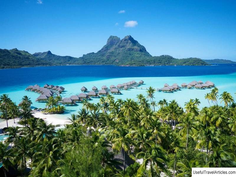
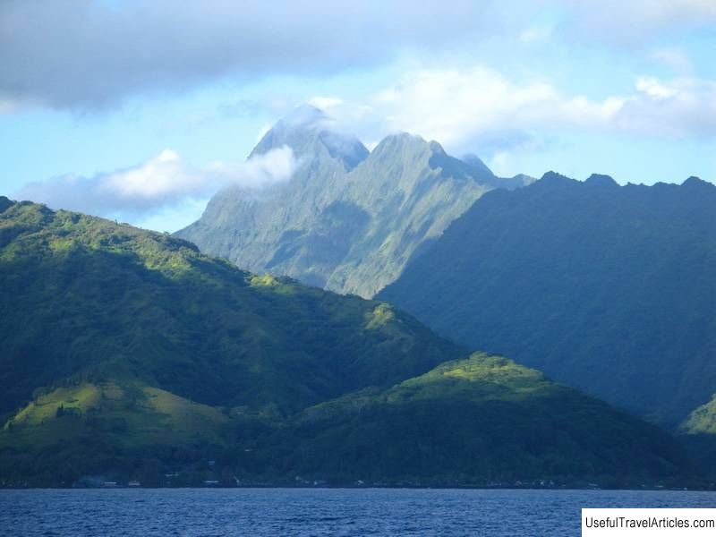
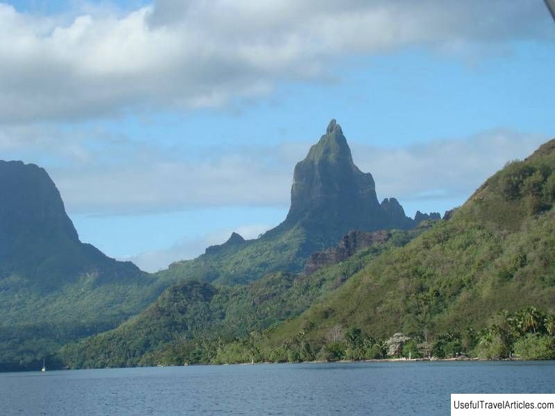
Vaitape description and photos - French Polynesia: Bora Bora Island. Detailed information about the attraction. Description, photographs and a map showing the nearest significant objects. The name in English is Vaitape. Photo and descriptionVaitape is the largest city on Bora Bora in French Polynesia. Its population is about 5 thousand people, and in total about 9 thousand people live on the island. The area was first inhabited by Polynesians. They built grass huts and hunted fish with spears and sticks. Then the island came under the control of France. During World War II, it served as a military base - an oil storage facility was located here, an airstrip was built. Vaitape is located on the western side of the main island of Bora Bora. From here you can see the western part of the lagoon and the highest mountain of Bora Bora - Otemanu.    We also recommend reading Tandanya National Aboriginal Cultural Institute description and photos - Australia: Adelaide Topic: Vaitape description and photos - French Polynesia: Bora Bora Island. |