Geography and climate in Varadero
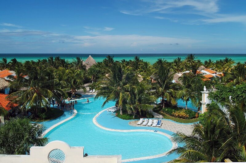
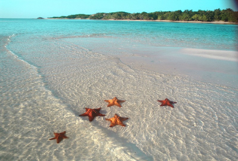
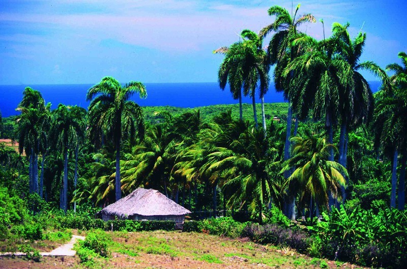
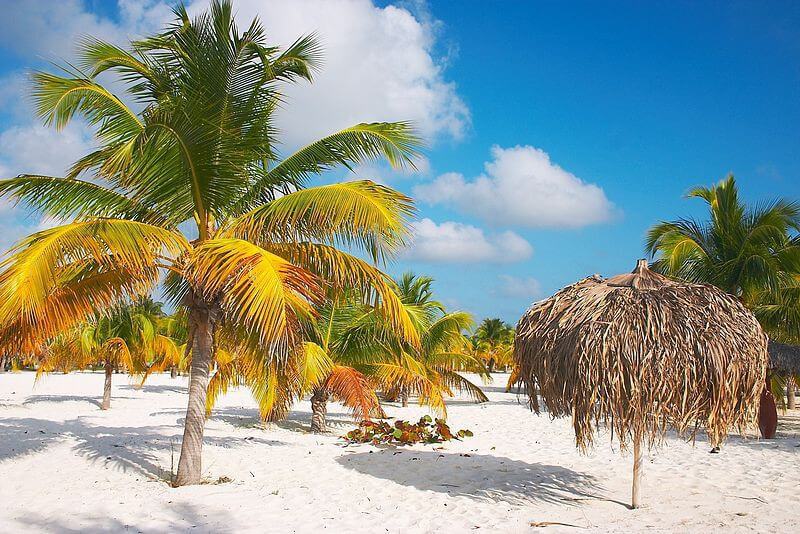
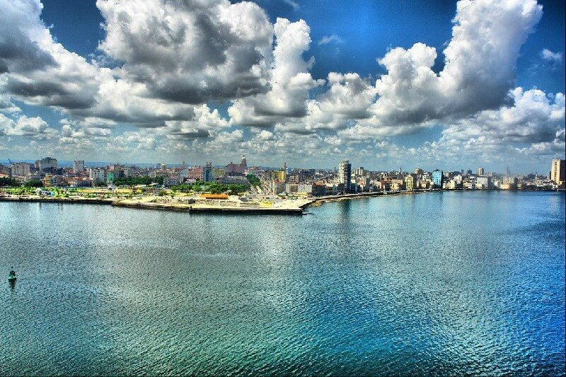
Rating: 7,9/10 (4721 votes) 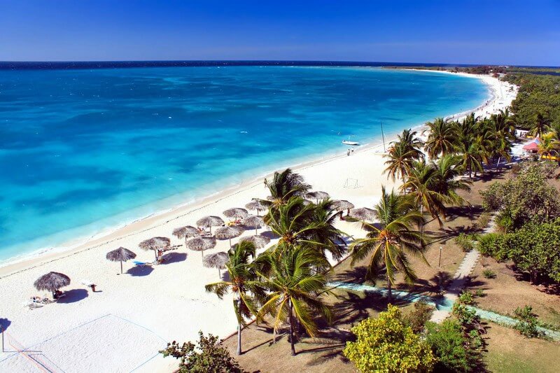 GeographyVaradero is the most famous resort area in Cuba and the Western Hemisphere, located on the Hicacos Peninsula, just 134 km from Havana. The golden-white sands of Varadero's beaches stretch for 20 km along the coast, being protected by the largest coral reef in the Caribbean. The sea lagoons, coastal caves and the richest underwater world of the resort attract thousands of tourists every year. Direct flights of Aeroflot from Moscow to Havana are carried out on Mondays, Wednesdays and Fridays, the flight time is about 13 hours. Time zone: GTM-5 (-8 hours to Moscow). ClimateValdero's climate is mild tropical, trade wind, the average annual temperature here is +25 ° C. The coldest month in the resort is January, the average temperature is up to +22 ° C, and the hottest is August, when the temperature reaches +28 ° C. The rainy season is in the summer months May to October, so winter seasons are more popular for holidaymakers at this resort.  We also recommend reading Geography and climate in Wolfgangsee Topic: Geography and climate in Varadero. |