Geography and climate in Wolfgangsee
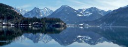
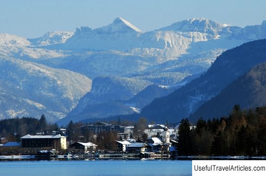
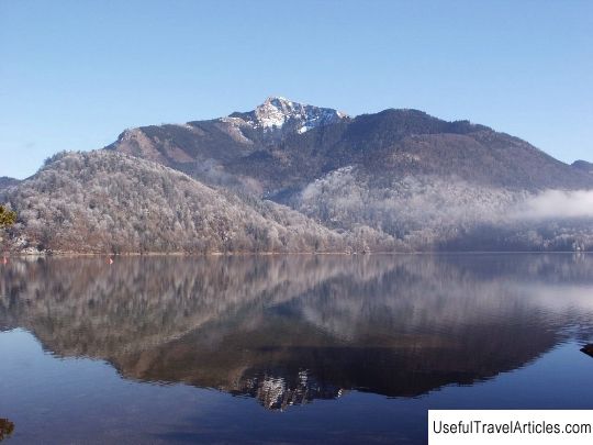
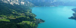
Rating: 8,0/10 (226 votes) 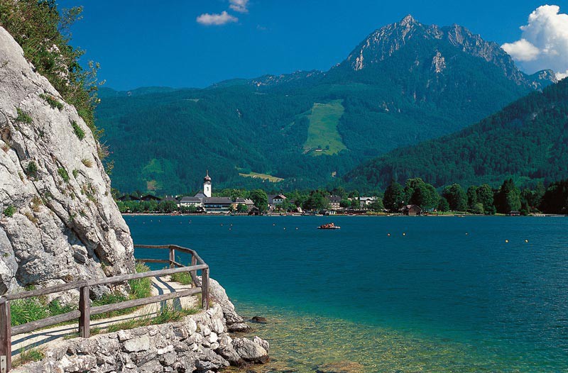 Geography and climateWolfgangsee – a lake of glacial origin and the Austrian resort area of the same name. It is located in a mountainous region on the border between the federal states of Salzburg and Upper Austria, occupying part of the territory belonging to the resort region of Salzkammergut. The lake is a UNESCO World Heritage Site.  Salzburg airport to Wolfgangsee will take about an hour, the distance is 55 kilometers. Munich airport can be reached in three hours (200 kilometers), and to the city of Vienna – in four hours (270 kilometers). The length of the lake is 11.5 kilometers, and the area – 13 km & sup2;, in the widest part the lake reaches 2 kilometers, and in the narrowest (in the area of the village of St. Wolfgang) – 200 meters.  Lake Wolfgangsee is located in the region of the Osterhorngrupe mountain range, in addition – in the vicinity of the lake there are such peaks as Schafberg (height 1783 meters) and Zwolferhorn (height 1521 m). The climate of this region belongs to a temperate continental climatic zone with a mild and long winter period (average air temperature in January -5 ° C) and in the hot summer months, when the air warms up to +25 ° C. The average water temperature in the lake in July is +24 ° C. We also recommend reading Geography and climate in Bad Ischl Topic: Geography and climate in Wolfgangsee. |