Geography and Climate in Adana
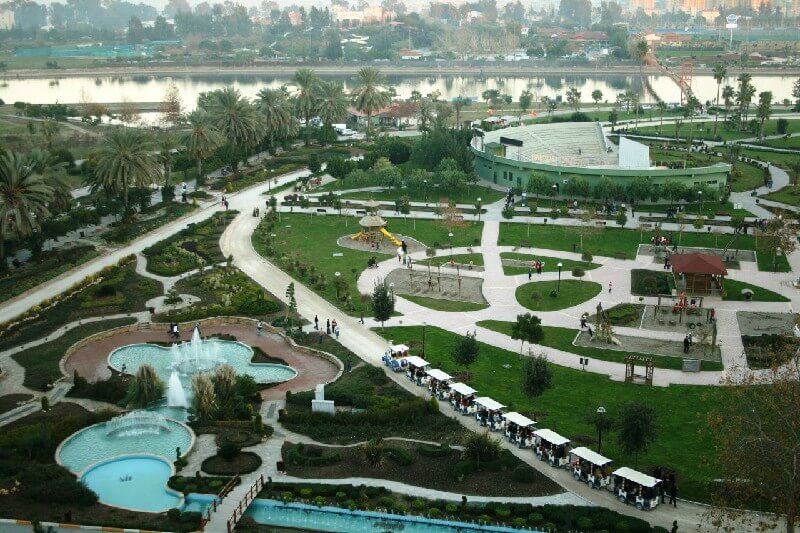
Rating: 9,1/10 (5693 votes)  GeographyThe Turkish city Adana is considered the fourth largest and most important city in the country. It is located in the southern part of Turkey on the Seyhan River, which is 30 km from the Mediterranean Sea and 350 km from Ankara in the southeast direction. Administratively, the city is the center of the region of the same name. It has an advantageous historical location. In ancient times, Adana was on the trade route between Asia Minor and Syria. In addition, the fertile region of the Kalikia plateau is located near the city. The industry gave a great development to Adana. You can get to Adana through air communication, the city has its own Sakirpasa airport. It receives aircraft from Ankara, Istanbul, Izmir and Antalya. The airport is on the outskirts. From there go dolmushi minibuses and taxis to the city center. Adana is connected with many cities by railway. There are daily trains from Ankara and Istanbul, the journey from these cities will take about 14 hours. The same route, but the bus takes about 12 hours. There are two bus stations in Adana: in the center and in the western part of the city. To get to these places by car, you must adhere to the TEM international road and the D-400 highway. Internally, Adana is conditionally divided into the old part, where there are mosques, noisy bazaars, hotels, and a modern Europeanized new part. Getting around the city is convenient by metro, dolmus and buses. Adana's time zone: UTC + 2, UTC + 3 in summer, lagging behind Moscow - one hour in summer and two hours in winter.ClimateAdana is characterized by typical manifestations of the Mediterranean climate. Summer in these places is characterized by hot weather, the thermometer fluctuates around + 18 ... + 33 ° С. In winter, Adana has mild, cool and rainy weather, sometimes frosts and rarely snowfalls. The temperature in winter does not drop below + 4 ... + 15 ° C.  We also recommend reading Geography and Climate in Trinidad Topic: Geography and Climate in Adana. |


