Geography and climate in Djerba
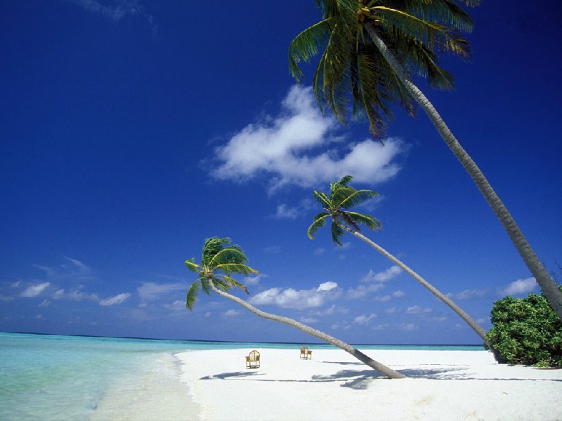
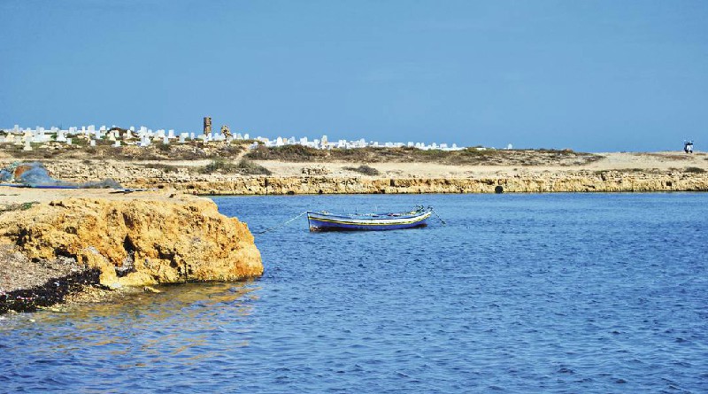
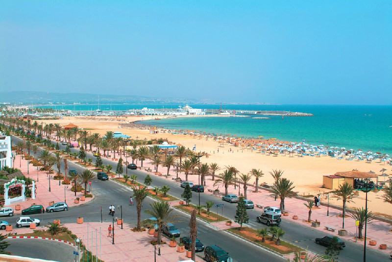
Rating: 7,8/10 (501 votes) 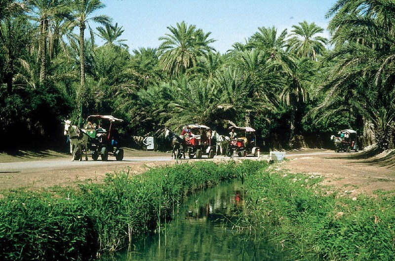 Geography and climateDjerba is a resort island located in the southern part of Tunisia. It is connected with the mainland by an embankment dam, about 9 km long. The island is distinguished by clean beaches with fine white sand. The coastline is about 130 km long. The island's area is small. You can cross it within an hour by bus, train or taxi. The vegetation on Djerba is dominated by olive, fruit and fig orchards, as well as palm groves. You can get to the resort by ferry (10 minutes), by plane with arrival at Djerba international airport, or by car along the"Roman" road (dam). Climate on the island is warm, tropical, with intermittent heavy rains ... The average temperature in winter is + 15… + 20 ° C during the daytime and + 5… + 15 ° C at night. The water temperature during this period is + 15… + 16 ° C. In summer it is slightly warmer: + 23… + 35 ° C during the day and + 15… + 25 ° C at night. Sea water these days warms up to + 20 ... + 28 ° C. Local time in Djerba: GMT +1 (-3 hours to Moscow).  We also recommend reading Geography and climate in Dar es Salaam Topic: Geography and climate in Djerba. |