Geography and Climate in Arles
Rating: 7,9/10 (7263 votes) 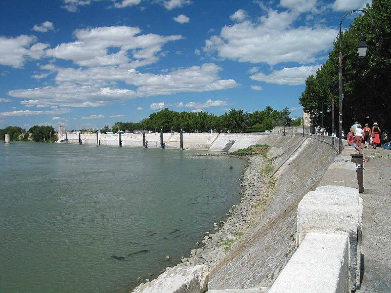 Arles is a small town in Provence, one of the oldest settlements in France, located on the banks of the Rhone. According to the latest available data, the population of Arles is a little more than 50 thousand people. The closest of the largest French cities is Marseille, the distance by road is about 90 kilometers. People get to Arles most often by buses, you can also use the services of a high-speed train, this will reduce travel time several times. There are currently no direct flights from Paris to Arles, but you can get there with a transfer in Avignon. The same high-speed French trains deliver tourist groups in three hours, and comfortable charter buses are already departing from Avignon. The distance from Avignon to Arles is about 34 kilometers. The climatic characteristics of Arles are close to the general indicators of the Mediterranean climate. It is always warm here, the air is dry, winds are observed only in the off-season, precipitation is a rather rare phenomenon, regardless of the season. Winter in Arles is mild, warm enough in comparison with the northern regions of France. The average January temperature is about +8 ° С, warming is also possible. At night the air masses become colder, so frosts and even light snowfalls are possible in the morning. Snow is so rare here that it can be attributed to anomalies. Summer in Arles appears in a typical picture of the Mediterranean climate - drought, daily heat and minimum rainfall. The average air temperature in the shade during the summer months is no less than + 24 ° C.  We also recommend reading Kitzbuehel. Recreation and entertainment Topic: Geography and Climate in Arles. |