Geography and Climate in Koggale
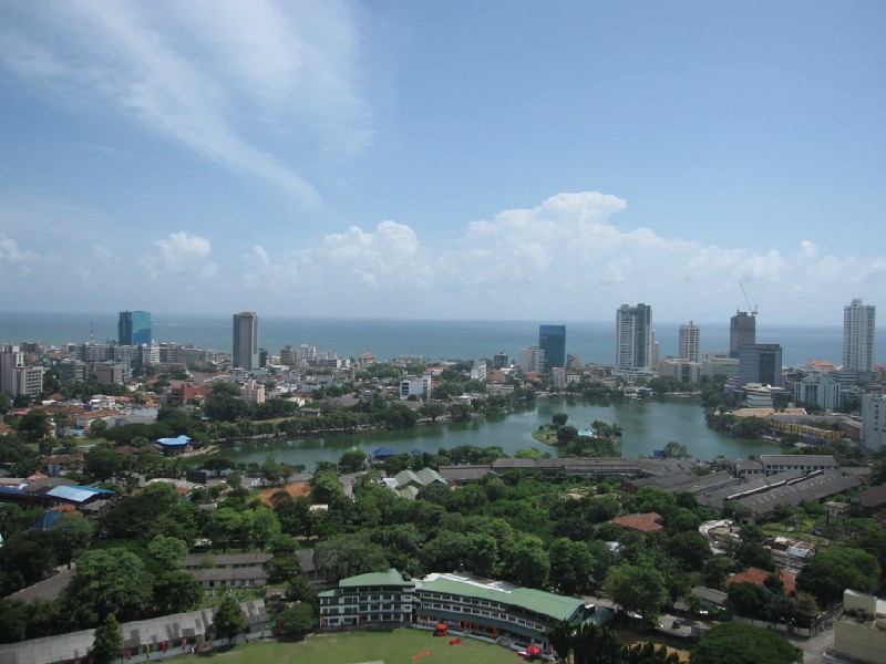
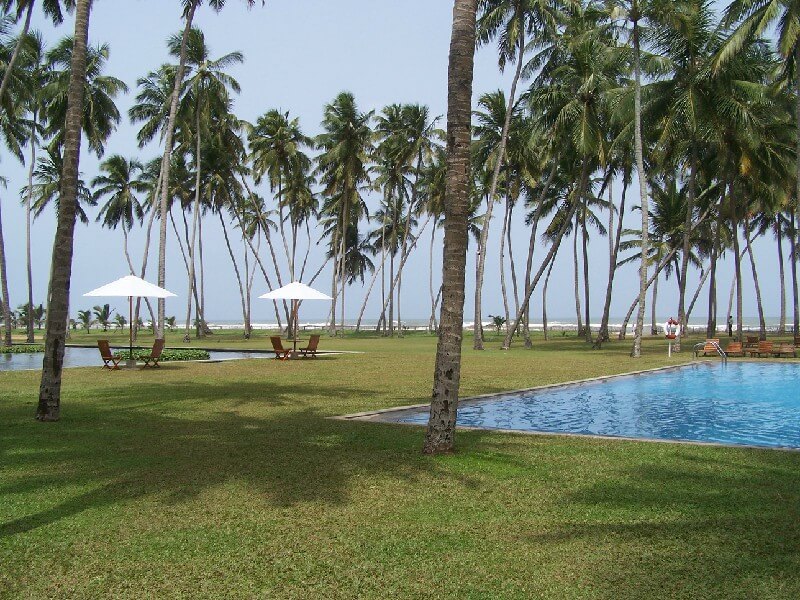
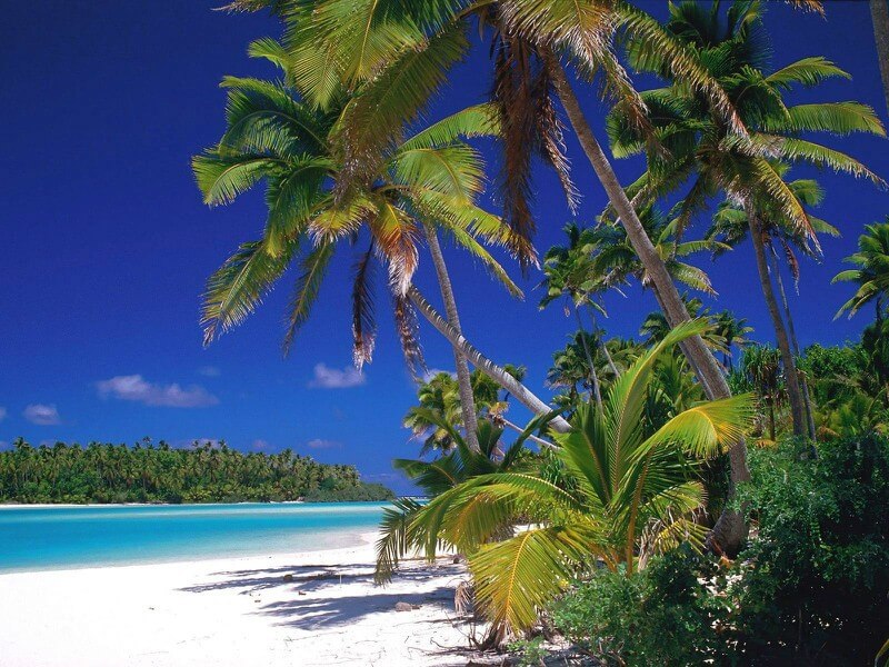
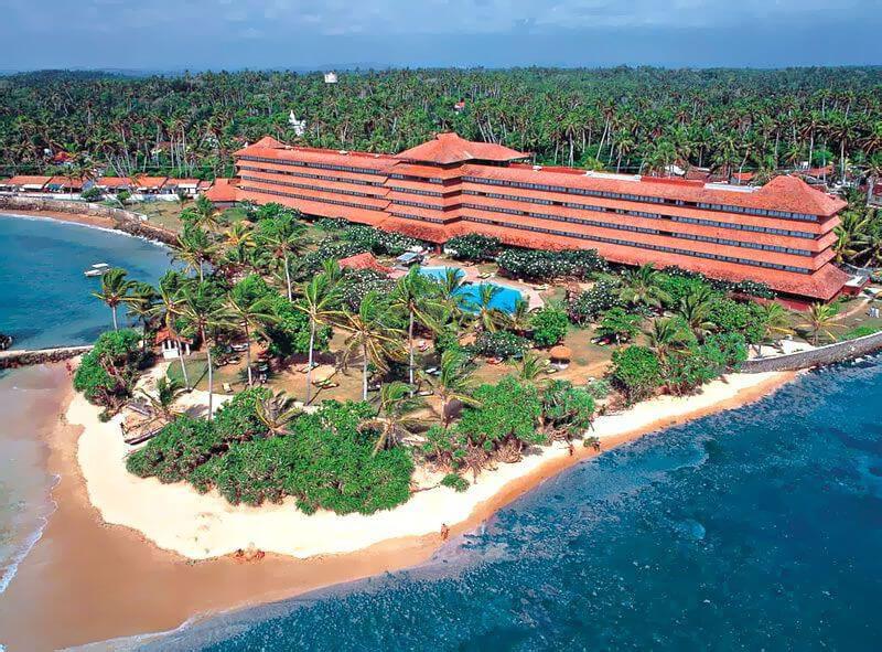
Rating: 7,8/10 (1440 votes) 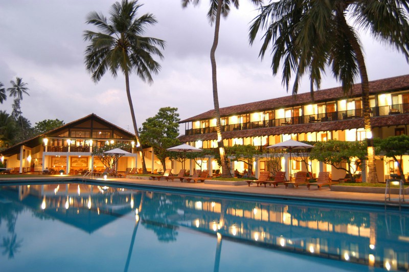 Kogalla is one of the most famous resorts in Sri Lanka, located on the coast, 130 km south of Colombo, the capital of the state. Kogalla is inhabited by Sinhalese, Moors, Tamils and Veddas - descendants of the ancient aborigines who originally lived in these places. The main languages are Sinhalese and Tamil, and those who speak English will not have any problems with communication. The easiest way to get to Kogalla is by plane. At the height of the holiday season, Aeroflot organizes direct flights connecting Moscow and Colombo, the flight in this case takes 9 hours. Those who decide to visit Kogalla at another time will have to fly with a transfer in Dubai, Doha or Abu Dhabi, and the time in the air will be 14 hours. The climate of Kogalla is monsoon equatorial with air humidity up to 75%. Temperature changes during the year are insignificant, and its average value ranges from 26-30 °; C. The high season lasts from mid-October to April and is characterized by a fairly large influx of tourists; the temperature of the Indian Ocean does not drop below 25 ° C all year round. C. The rainy season lasts from early May to September inclusive, with minor precipitation possible in November and December. The Kogalla time zone is GMT + 5.30.  The Kogalla time zone is GMT + 5.30. The Kogalla time zone is GMT + 5.30. The Kogalla time zone is GMT + 5.30. The Kogalla time zone is GMT + 5.30.We also recommend reading Galle Sri Lanka Resort Information Topic: Geography and Climate in Koggale. |