Salt Lake description and photo - Russia - South: Taman
Rating: 9,4/10 (2464 votes) 
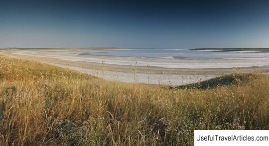
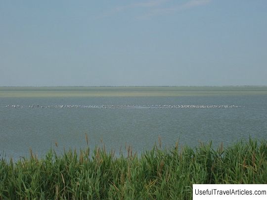
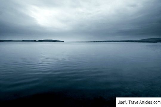
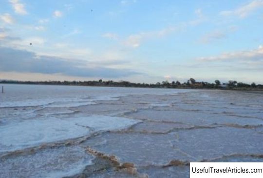
Salt Lake description and photos - Russia - South: Taman. Detailed information about the attraction. Description, photos and a map showing the nearest significant objects. Photo and descriptionSalt Lake, located on the Taman Peninsula between Cape Zhelezny Rog and the Bugaz Estuary, 15 km from Taman, is the saltiest lake in the Krasnodar Territory. Salt Lake was formed not so long ago. At the beginning of the nineteenth century. it was part of the Kuban estuary, where the Zhdiga, the main channel of the Kuban, flowed into. By the middle of the nineteenth century. the estuary split into four small estuaries - Kiziltashsky, Bugazya, Vityazevsky and Tsokur. After some time, Lake Salty separated from the Bugaz estuary, where salt was mined until 1952 - up to 20 thousand tons per year. From the high watershed, the lake looks large and deep, but if you come closer, this impression disappears. The total length of the Solenoe Lake is about 1500 m, the width is about 1000 m, and the maximum depth is only 10 cm. In summer, a small Taman lake is covered with a crust of snow-white coarse-crystalline sea salt. Then the lake can be freely crossed on dry land, but you should wear shoes so as not to scratch your feet. A shallow, half-meter layer of healing mud lies under the layer of caked salt. Healing mud is black, greasy to the touch, plastic silt with a strong smell of hydrogen sulfide. In air, the sludge oxidizes and quickly turns gray. Medicinal mud is very similar to volcanic mud, but it is less homogeneous and more liquid. It is successfully used in sanatoriums and mud baths in Gelendzhik and Anapa. It is an excellent remedy for the prevention and treatment of radiculitis, polyarthritis and other joint diseases. Salt Lake is separated from the Black Sea by a beautiful beach.     We also recommend reading Amusing palace and the Church of Praise of the Most Holy Theotokos in the Kremlin description and photos - Russia - Moscow: Moscow Topic: Salt Lake description and photo - Russia - South: Taman. |


