Mount Obama description and photos - Antigua and Barbuda: Antigua
Rating: 7,5/10 (1407 votes) 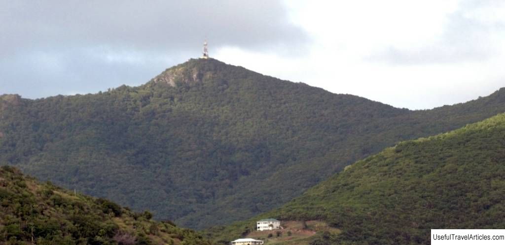
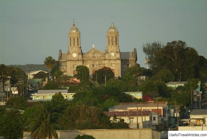
Mount Obama description and photos - Antigua and Barbuda: Antigua. Detailed information about the attraction. Description, photographs and a map showing the nearest significant objects. The name in English is Mount Obama. Photo and descriptionOn the island of Antigua, there is the Shekerly mountain system. Among this small group of hills is the island's highest peak. Previously, the peak point was called Boggy Peak, and was once a gathering place for runaway slaves. In August 2009, by a decree of the Prime Minister of the country, the mountain was named in honor of Barack Obama, as a tribute to the first black president of the United States, and included in the system of the national park of the same name. The highest part of the island is concentrated around the mountains on the southern coast ... In addition to Mount Obama, there are other peaks in this area over 300 meters high. The nature of the mountain formations is volcanic. The slopes are covered with lush green vegetation that gives the impression of rainforest, although in reality there are no forest views on the island. Steep slopes flow into valleys, along which rushing streams rush in heavy rain, similar to mountain rivers. This is also a deceptive impression, since there are no permanent rivers and streams on the entire island either. The neighboring islands - Guadeloupe and Montserrat are visible from the top of the mountain, but access to the observation deck is limited, because there are television and radio communications towers on it. You can get to the slopes of the mountain from the bus station in St. John's, driving along the old road to the west. You need to get off the bus at the access road at the base of Mount Obama for US $ 1.5-2.00. Besides buses, you can always take a taxi from anywhere on the island. The ascent is quite steep, so you will have to walk further. This is also a deceptive impression, since there are no permanent rivers and streams on the entire island either. The neighboring islands - Guadeloupe and Montserrat are visible from the top of the mountain, but access to the observation deck is limited, because there are television and radio communication towers on it.    We also recommend reading Agios Minas Cathedral description and photos - Greece: Heraklion (Crete) Topic: Mount Obama description and photos - Antigua and Barbuda: Antigua. |