National Park Sila (Parco nazionale della Sila) description and photos - Italy: Calabria
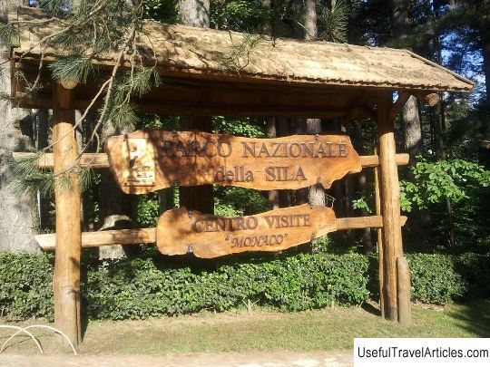
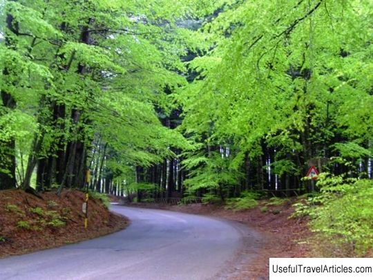
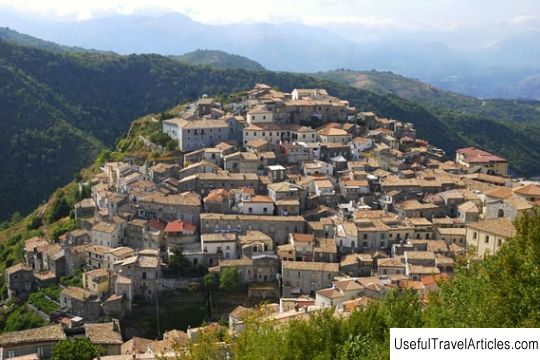
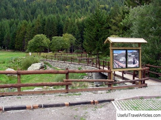
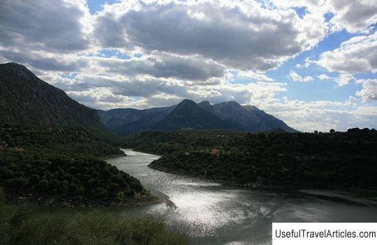
National Park Sila (Parco nazionale della Sila) description and photos - Italy: Calabria. Detailed information about the attraction. Description, photographs and a map showing the nearest significant objects. The name in English is Parco nazionale della Sila. Photo and descriptionThe Sila National Park with an area of about 74 thousand hectares was founded in 1997 on the territory of the mountain plateau of the same name in Calabria. In addition to the uniquely beautiful landscapes stretching in all directions to the Pollino and Aspromonte mountains and the coasts of the Ionian and Tyrrhenian Seas, the park boasts ancient picturesque villages with priceless cultural and historical heritage and tourist resorts. The highest peaks of the park are Monte Botte Donato (1928 m) and Monte Gariglione (1764 m). The territory of the park is crossed by several streams with the purest fresh water. Here you can also find a number of artificial lakes created for various purposes. The park's wildlife is rich and diverse. The Sila National Park is open to tourists all year round. There are many hiking and cycling trails on its territory, introducing the landscapes of these places, their history and their inhabitants. In the visitor center of the park, you can get any information about routes and places of accommodation. There are also several thematic exhibitions (multimedia and interactive) - "Forests of Power", "Forest and Man", etc. Recently, three small eco-museums were opened - one in Dzagarise, another in Albi and the third in Longobucco. As for the Sila mountain plateau itself, it is located in the provinces of Cosenza, Crotone and Catanzaro and is divided into the Strength of the Greek, the Strength of Grande and the Strength of Piccola (Greek, Greater and Lesser). The first inhabitants of these places were the Brutti tribes. Then the Force became part of the Roman Empire, was conquered by the Ostrogoths, Byzantines and Normans. The latter founded several monasteries on its territory - San Marco Argentano in Matina, Sambucina in Luzzi and the abbey in San Giovanni in Fiore. In 1448-1535, immigrants from Albania appeared here, who settled on the Ionian coast of the plateau, creating the Sila Greek community. After joining Italy in the middle of the 19th century, the Force became a bandit base. And then the first roads were laid along the territory of the mountainous plateau, putting an end to the isolation of local villages. Today, some of them, like Camiglatello and Palumbo Sila, are becoming popular tourist resorts. p> After joining Italy in the middle of the 19th century, Sila became a base for bandits. And then the first roads were laid along the territory of the mountainous plateau, putting an end to the isolation of local villages. Today, some of them, like Camiglatello and Palumbo Sila, are becoming popular tourist resorts. p> After joining Italy in the middle of the 19th century, Sila became a bandit base. And at the same time, the first roads were laid along the territory of the mountainous plateau, putting an end to the isolation of local villages. Today, some of them, like Camiglatello and Palumbo Sila, are becoming popular tourist resorts.      We also recommend reading Iron Mountain description and photo - Russia - Caucasus: Zheleznovodsk Topic: National Park Sila (Parco nazionale della Sila) description and photos - Italy: Calabria. |
