Ream National Park description and photos - Cambodia: Sihanoukville

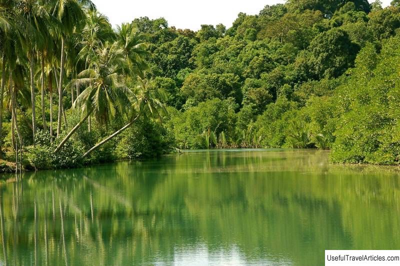
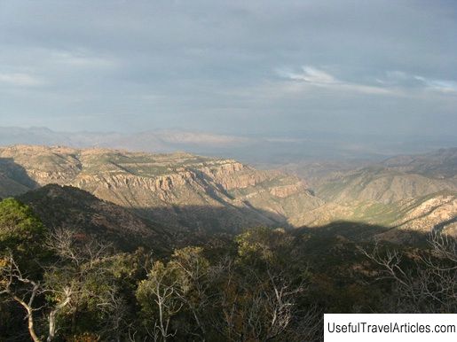
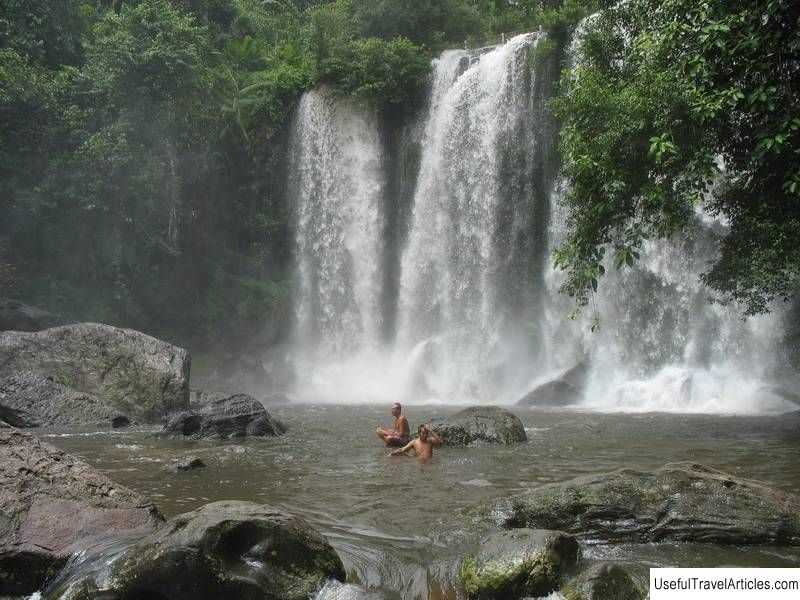
Ream National Park description and photos - Cambodia: Sihanoukville. Detailed information about the attraction. Description, photographs and a map showing the nearest significant objects. The name in English is Ream National Park. Photo and descriptionRiem National Park is located in the southeast in the province of Sihanoukville, bordering the Gulf of Thailand. The total area of the reserve is 210 sq. km, three quarters of which are land, the rest is occupied by the sea. The park's landscape is mountainous with many ecosystems including mangroves, freshwater wetlands, algae, evergreen forests, beaches, coral reefs, rivers and islands. The park is separated by the freshwater river Prek Teuk Sap, which flows into the ocean. The western lands of the Riem National Park are two hills separated by the Prek-Sampush watercourse. Phnom Mollow (277 m) is the highest point in the reserve, the height of the second peak is 196 meters. Between the hills and the mouth of the river lies a narrow, intermittent belt of wetlands and a thin strip of mangrove forest. The eastern part of the park is occupied by the islands of Ko Thmei and Ko Seh. The reserve would have been established in 1993, when the Cambodian government took measures to protect the country's endangered natural resources. Walking, bus and motorcycle excursions around the territory of the national reserve have been developed for tourists.     We also recommend reading Temples of Philae Island (Monuments Philae) description and photos - Egypt: Aswan Topic: Ream National Park description and photos - Cambodia: Sihanoukville. |


