Ruins of the castle in Vysehrad description and photos - Bulgaria: Kardzhali
Rating: 8,7/10 (7905 votes) 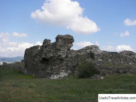
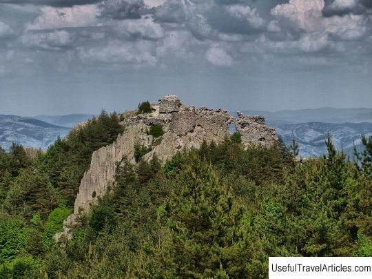
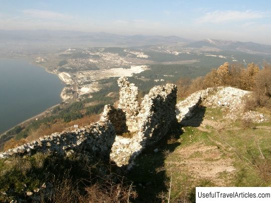
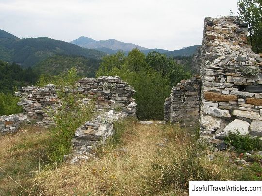
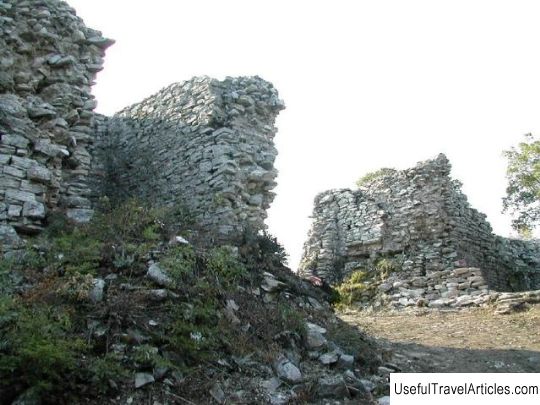
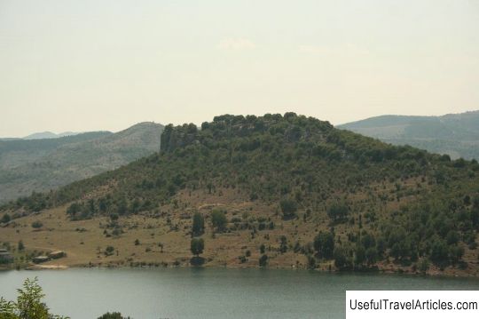
Ruins of the castle in Visegrad description and photos - Bulgaria: Kardzhali. Detailed information about the attraction. Description, photos and a map showing the nearest significant objects. Photo and descriptionThe ruins of the castle in Vysehrad are located north of the village of the same name, 5 kilometers southeast of the city of Kardzhali, where the Thracian fortress is located. The name of the castle is of Slavic origin and means "high city". The same name was repeatedly used when naming the fortresses of some Slavic states. Among the local population it is known by the toponym "Hisar Yustyu" ("Mountain Fortress"). The fortress is located on the top of "Kamenen Harman". From the east, south and west, it is almost inaccessible. The northern side of the fortress is protected by a curved wall, expanding from the western side. During archaeological excavations in 1971 and 1974, the city wall and the interior of the Vysehrad castle were discovered and preserved. The fortress wall is approximately two meters wide and one meter high. During its construction, rough stones and a special bonding mortar were used; in some places, the joints of the stones are filled with small stones and earth. The entrance to the fortress is located on the east side and is about two meters wide. In the courtyard, archaeologists have found small dugouts and preserved furnace bases. As a result of the excavations, many traces of the life of the settlers were also discovered: ceramics, millstones, iron tools and weapons, etc. The most ancient samples date back to the Bronze Age and the Late Iron Age. Scientists suggest that this place was inhabited from ancient times to the Middle Ages. 17 more Thracian burial mounds were also found nearby.      Topic: Ruins of the castle in Vysehrad description and photos - Bulgaria: Kardzhali. |
