Huaynaputina volcano description and photos - Peru
Rating: 8,2/10 (890 votes) 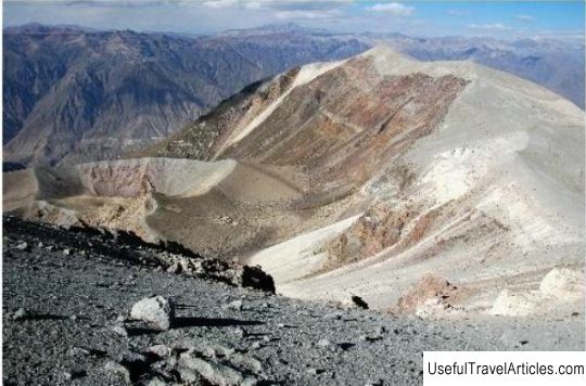
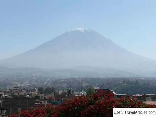
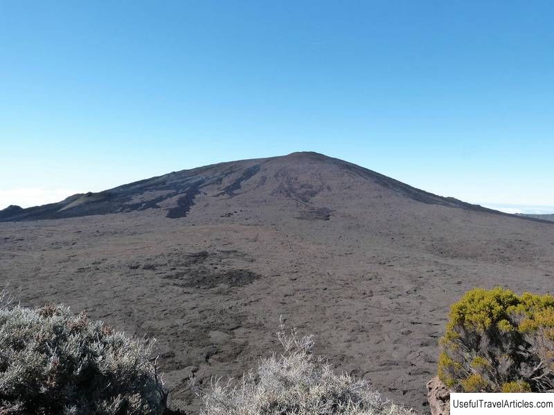
Huaynaputina volcano description and photo - Peru. Detailed information about the attraction. Description, photographs and a map showing the nearest significant objects. The title in English is Huaynaputina. Photo and descriptionThe name of Huaynaputina volcano (4800 m) in Quechua means "Young volcano". It is a stratovolcano & nbsp; and is located in the Mokegua region of southern Peru, 80 km southeast of the city of Arequipa. The Huaynaputina volcano is part of the Andes Central Volcanic Zone, passing through Peru and Chile. Despite its height, the summit of Waynaputina Volcano is not as interesting as its 2.5m wide horseshoe crater, which is 1000m lower and includes three conical 100m depressions formed during the last violent eruption in 1600. Not much is known about the pre-Hispanic history of this region. According to local legends, a few days before the eruption, someone reported noise near the volcano and smoke, emitted from its crater. The locals prepared girls, pets and flowers for sacrifices to calm the volcano. During the sacrifice ceremony, the volcano threw out a column of ash. By February 15, activity increased markedly as tremors began to occur. By February 18, seismic activity increased to three to four shocks every fifteen minutes. On the evening of February 19, 1600, Waynaputina erupted in a volcanic eruption, releasing ash into the atmosphere. Observers described the event as "a big explosion from a cannonball with a huge fire." Pyroclastic flows in the form of a river flowed down the mountain. Streams on the south side of the volcano mixed with the waters of the Rio Tambo River. An hour after the eruption, ash flakes began to fall from the sky. Within 24 hours, Arequipa was covered with a 25 cm layer of ash. A month later, Huaynaputina volcano made another eruption with the release of pyroclastic flows up to 13 km long to the east. Volcanic mud flows on its way destroyed several villages and reached the shores of the Pacific Ocean. Volcanic ash and earthquakes caused significant damage in the major cities of Arequipa and Mokegua. In total, more than 1,500 people died during the eruption of Huaynaputina. Dozens of villages were buried under its ashes. It took 150 years for the region's agricultural economy to fully recover.     We also recommend reading Lion Castle (Lwi Zamek) description and photos - Poland: Gdansk Topic: Huaynaputina volcano description and photos - Peru. |