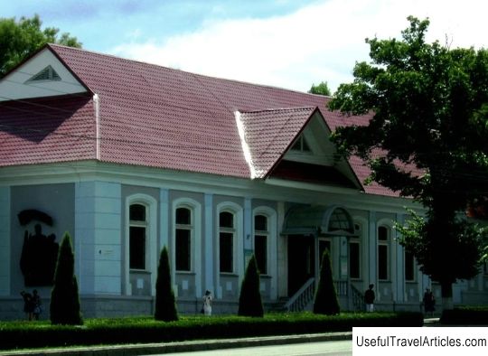
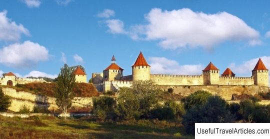
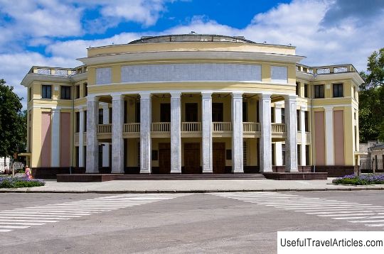
Ruins of the Tiraspol fortress description and photos - Moldova: Tiraspol
Rating: 8,1/10 (3302 votes) 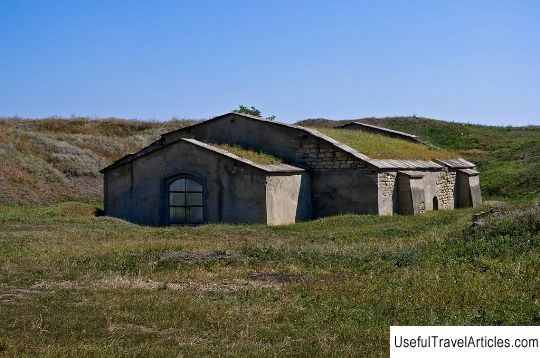
Ruins of the Tiraspol fortress description and photos - Moldova: Tiraspol. Detailed information about the attraction. Description, photos and a map showing the nearest significant objects. Photo and descriptionThe ruins of the Tiraspol fortress are one of the main historical sights of the city. The fortress on the left bank of the Dniester was built in 1792-1793 as a defensive structure. The construction was supervised by the commander A.V. Suvorov. The author of this work was the architect F.P. de Volan. After the Russian-Turkish war, according to the Yassy Peace Treaty, signed in December 1791, the Dniester River was defined as the border separating Turkish and Russian possessions. The question of erecting a powerful defensive structure capable of resisting the Janissaries arose after the annexation of the Left Bank of the Dniester River to Russia, when the active development of new territories began. The left bank was inhabited by residents of the Moldavian principality who fled from the Turkish yoke and people from different regions of Ukraine and Russia. The fortress was founded in June 1793. Initially, it was supposed to have a rectangular shape. As a result, the defensive structure was given a regular octagonal bastion outline. By the end of 1795, the construction of the fortress was completed. On the territory of the defensive structure were: the commandant's house, the Church of St. Andrew the First-Called, three artillery parks, several barracks, powder magazines, stables, a military hospital and food stores. Loopholes were located in the earthen ramparts. You could get inside the fortress through the gates: Kherson, Bratslav and Western. By 1795, about 3 thousand people lived in the vicinity of the citadel. At the beginning of 1795 the serf settlement was given the status of a city and the modern name of Tiraspol. Little by little, houses began to grow around the fortress, and the first streets appeared. By the end of the XVIII century. the city was transformed into an important administrative, trade and craft center in the south-west of the country. In 1812, according to the Bucharest Peace Treaty, the Russian border was moved to the Prut River, as a result of which Tiraspol lost its border significance, and the fortress lost its military significance, turning into a gloomy dungeon.      We also recommend reading Monument to the Toad description and photo - Ukraine: Kiev Topic: Ruins of the Tiraspol fortress description and photos - Moldova: Tiraspol. |