National Park - Cabrits & Fort Shirley description and photos - Dominica
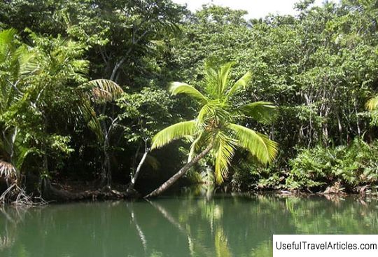
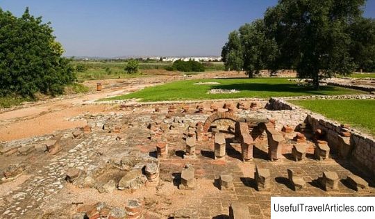
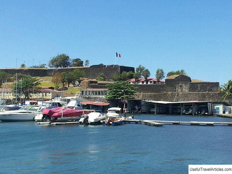
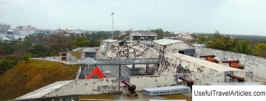
National Park - Cabrits & Fort Shirley description and photos - Dominica. Detailed information about the attraction. Description, photographs and a map showing the nearest significant objects. The title in English is Cabrits & Fort Shirley. Photo & DescriptionCape Cabrits is located between Prince Rupert Bay to the south and Douglas Bay to the north. Translated from Spanish, Cabrits means "goats", which were used as fresh meat by sailors stopping at Prince Rupert Bay. The twin hills are called "West Cabrit" and "East Cabrit". Cabrits National Park is located on the peninsula north of Portsmouth and includes both terrestrial and marine flora and fauna. This park was formed in 1986, and is known primarily as the territory of Fort Shirley (Shirley) - this is a large British garrison of the 18th century during the Anglo-French War, which once housed 600 soldiers. Some of the stone ruins of the fort have been partially restored in recent years. some are in the jungle and are already partially hidden by plants and trees. Fort Shirley was the headquarters and main defense post of the British Army garrison. Its construction began under the leadership of Thomas Shirley, Governor of the Republic of Dominica (1774-1776), in whose honor the fort got its name. It was last used as a fort in 1854. Now in the thickets of the forest you can see an old cannon, the remnants of old ammunition depots overgrown with roots. The fort offers a wonderful view of the coast, and it is on this part of the island that sandy beaches are located. Not far away is the Indian River, where the famous films "Pirates of the Caribbean 2, 3" were filmed. Here you can see different species of herons everywhere, and many species of fish are found in the river. The park has a fairly large area of about 1.3 acres. If in the western part of the island mainly trees with small crowns and cacti grow, then here you can see completely different trees with delicate, wide leaves, because much more rain falls at the top. In the park, you can see plantations of bananas, papaya, coffee, mango.         We also recommend reading Stalin's bunker description and photo - Russia - Volga region: Samara Topic: National Park - Cabrits & Fort Shirley description and photos - Dominica. |