Sunda Kelapa Harbor description and photos - Indonesia: Jakarta
Rating: 7,8/10 (1011 votes) 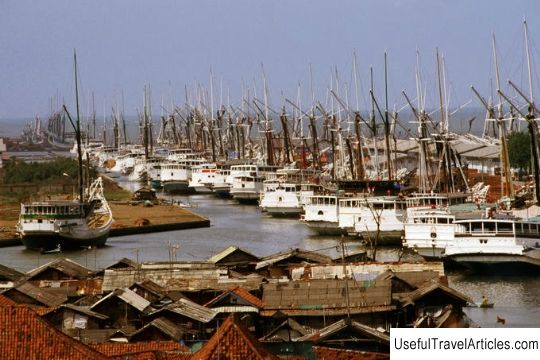
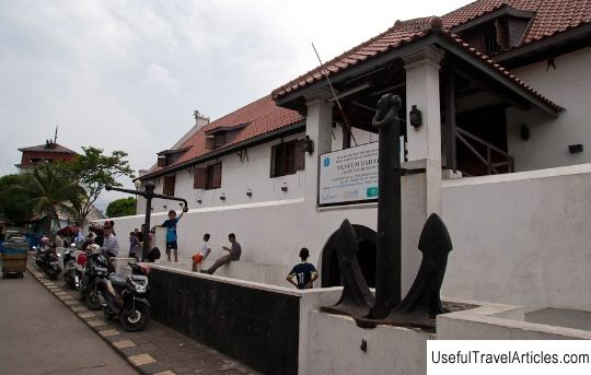
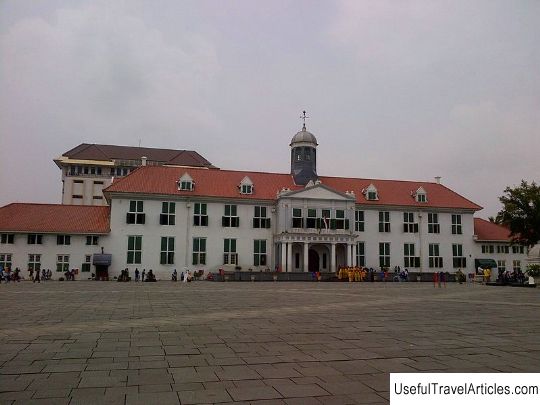
Sunda Kelapa Harbor description and photos - Indonesia: Jakarta. Detailed information about the attraction. Description, photographs and a map showing the nearest significant objects. The name in English is Sunda Kelapa Harbor. Photo and DescriptionSunda Kelapa Harbor is an ancient port located at the mouth of the Chilivung River. The name of the Chilivung River, translated from the Indonesian language, sounds like a "muddy river". This river is the largest river in Jakarta city. During the time when the island of Java was colonized by Holland, the Chilivung River was important and the port was an important stop on the way of many merchant ships from all over the world. In addition, the river was a source of fresh water for the residents of the city. Unfortunately, today the Chiliwung water is polluted by industrial and domestic waste, but despite this, a fairly large number of fish, as well as crabs, shrimps and other crustaceans, remain in the water. The port of Sunda Kelapa was once the main port of the kingdom of Sunda, from which the history of the capital of Indonesia, Jakarta, begins. Translated from the Sundanese language, "kelapa" is a local variety of coconut, hence the name of the harbor. In the 13th century, trade was one of the sources of income for the Sunda kingdom. It is worth noting that the port of Sunda Kelapa was one of the few then existing Indonesian ports that maintained trade relations with Europe and received their ships. In 1527, Sunda Kelapa was attacked by the troops of the Demak sultanate, and soon Sunda Kelapa was renamed to Jakarta. Later, the port became part of the Bantam sultanate. During the colonization of Holland, a new city was built near the port, called Batavia. As the main port, it functioned almost until the end of the 19th century, when the new port of Tanjung Priok was built in order to relieve the flow of arriving ships. The new port is located 9 km east of the old port. After Indonesia became independent, the port of Batavia was returned to its original name - Sunda Kelapa as a tribute to the historical past of the harbor at the source of the city of Jakarta.      We also recommend reading National Archaeological Museum (Museu Nacional de Arqueologia) description and photos - Portugal: Lisbon Topic: Sunda Kelapa Harbor description and photos - Indonesia: Jakarta. |