Ruins of Tulum city description and photos - Mexico: Playa del Carmen
Rating: 8,1/10 (543 votes) 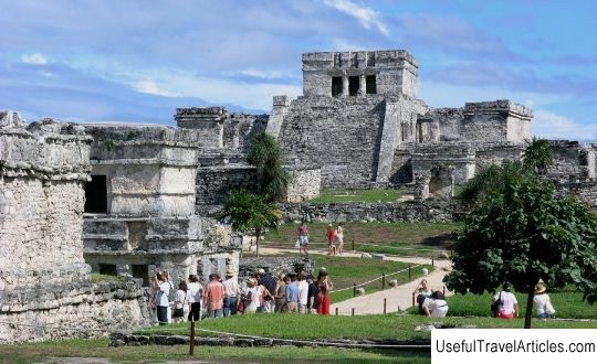
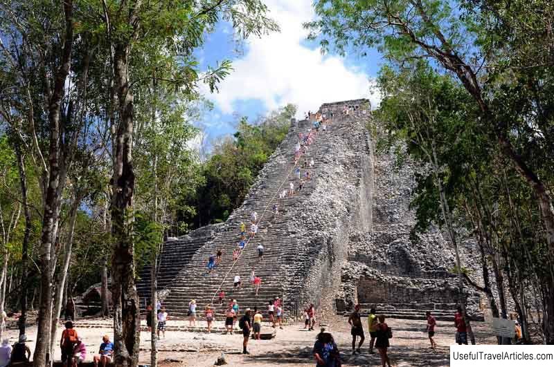
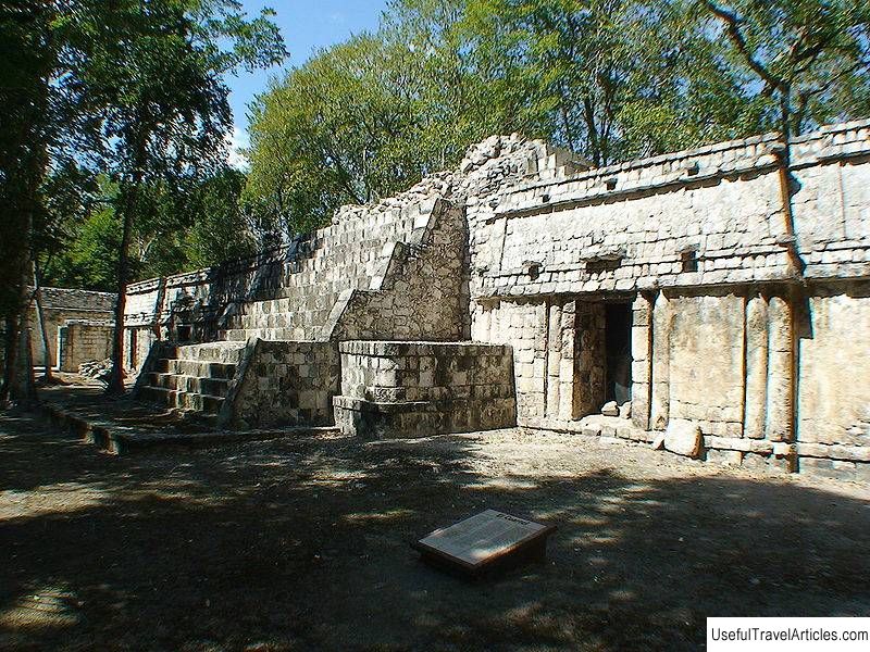
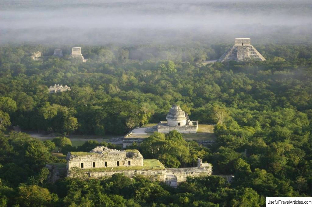
Ruins of Tulum city description and photos - Mexico: Playa del Carmen. Detailed information about the attraction. Description, photographs and a map showing the nearest significant objects. The name in English is Tulum. Photo and descriptionTulum - the city of the ancient Maya people, built in the pre-Columbian era, once served as a port for the city of Coba. Its ruins have survived on the eastern side of the Yucatan Peninsula. Tulum, which rises on a 12-meter cliff, is called one of the best preserved Mayan cities along the coastline. Tulum used to be called Sama, which means "city of dawn." From the Yucatec language "tul & uacute; m" is translated as "fence" or "wall". This name is quite justified - the walls erected around the city protected it from the attacks of enemy tribes. The first to tell about the city were American and English travelers in 1843 - John Lloyd Stephens and Frederick Catherwood. Later, research by scientists made it possible to determine the approximate date of the emergence of Tulum - 1200. The city existed until the first contacts with the conquistadors at the beginning of the 16th century. Since that time, the city has gradually emptied and was completely abandoned by the inhabitants by the end of the 16th century. A defensive wall, three to five meters high and up to 8 meters wide, makes Tulum one of the most defended Mayan cities. Coastal Tulum buildings are typical of the Mayan culture. Steps lead to the buildings erected on pedestals. Large houses are usually supported by columns. Each room has one or two windows, and the back wall has an altar. Tulum has always been protected on one side by steep cliffs extending into the sea, and on the other by a wall that reaches 3 -5 meters. Its lateral parts reach 170 meters in length. Such a defense suggests that the city was very important to the Mayan people. In the south-west and north-west, scientists have found some buildings that were most likely used as watchtowers. Narrow passages were on the north and south sides, the third was in the west wall. At the northern wall there was a small cenote - a source of drinking water. Another well-known and interesting building in the city is the Temple of Frescoes. There are small galleries on each of the two floors. There are statues of the Descending God in niches on the facades of the Temple. The city is open for tourists, it is included in the list of must-see attractions of the popular Yutakan Peninsula.      We also recommend reading Fortress of the Holy Cross (Tvrdava sv. Kriza) description and photos - Montenegro: Perast Topic: Ruins of Tulum city description and photos - Mexico: Playa del Carmen. |