Geography and climate in Santiago de Cuba
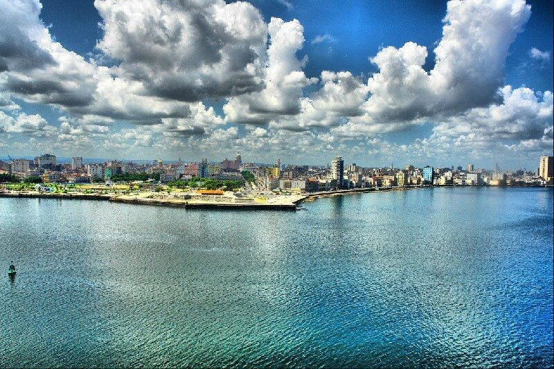
Rating: 7,9/10 (2025 votes) 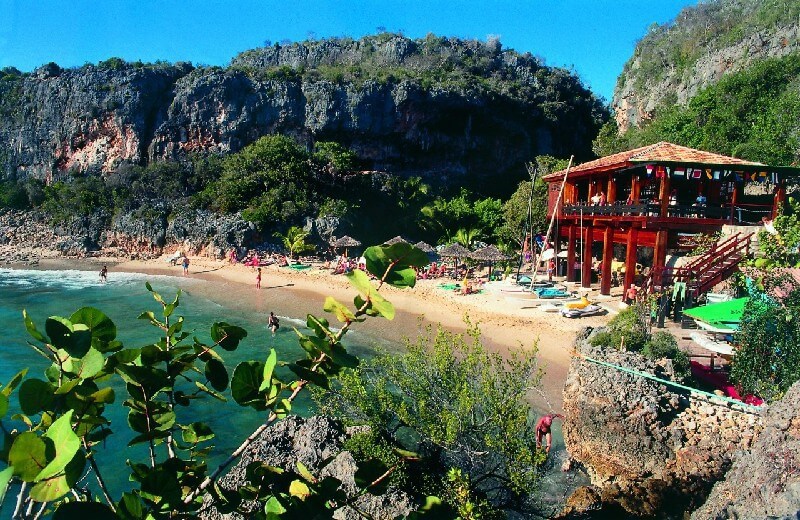 LocationSantiago de Cuba is a city on the southeast coast of the Caribbean Sea, the center of the province of the same name. It is the second largest city in Cuba, as well as a major port. Santiago de Cuba was founded in 1514 and until 1556 was the capital of Cuba. The city is also called "the cradle of revolution", because it was from here that Fidel Castro began the revolutionary struggle against the regime of the dictator Batista. You can get to the resort by plane, there is an international airport. Time zone Santiago de Cuba: GMT-5 (-8 hours from Moscow). ClimateSantiago de Cuba has a subtropical climate. The city is protected from the winds from the sea, because it is located inside the bay surrounded by mountains. So it's warmer here than, for example, in Havana, the resort is considered by many to be the hottest in Cuba. However, northeastern trade winds are not uncommon here. In the summer season (May-October), the average air temperature is about +28 ° C, but often rises well above this mark. It also rains actively at this time. In winter, a dry time comes, and the air temperature drops, albeit slightly - up to + 20 ... + 23 ° C. The water in the sea also pleases with its high temperatures, in summer it heats up to +32 ° C. Under these climatic conditions, the holiday season in Santiago de Cuba lasts almost all year round. 
We also recommend reading Geography and climate in Holguin Topic: Geography and climate in Santiago de Cuba. |