Geography and climate in Miami
Rating: 7,8/10 (557 votes) 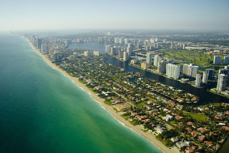 GeographyMiami is a city located in the southeast of Florida, in Miami-Dade County, on the Atlantic coast. The total area of the city is 92.42 km?. The city is located between Biscayne Bay and the Everglades on flat terrain at 4.5 meters above sea level. Get to cities from Russia is possible only with transfer to Chicago or New York. It is also possible to fly with connections through the European cities of Frankfurt, Paris and London (you need to get a transit visa, as you will need an overnight stay in London). Time zone: GMT ?5 (-8 hours to Moscow) ClimateClimate in the area is dominated by monsoon tropical. The rainy season and hurricane season in the city lasts from May to September, the average temperature in July is + 28 ... + 31 ° С. In winter, it is quite warm and humid, January temperature in average +19 ... + 24 ° С.  We also recommend reading Geography and Climate in Las Vegas Topic: Geography and climate in Miami. |