Geography and climate in Kandy
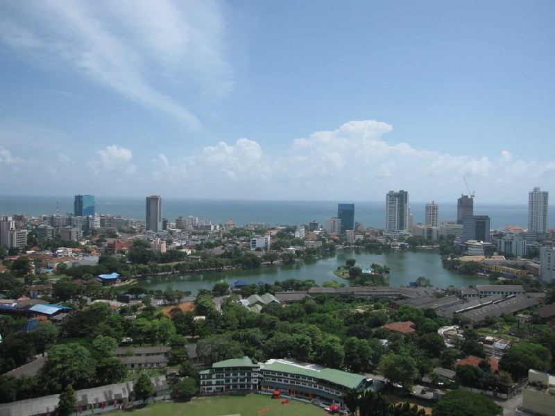
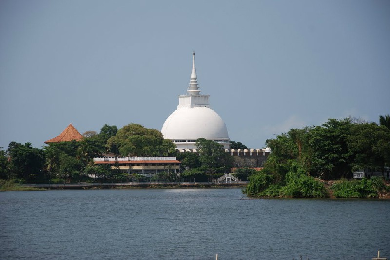
Rating: 8,9/10 (4760 votes) 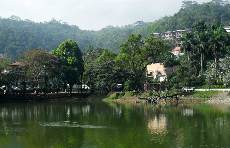 Geography Kandy - a picturesque city of the island of Sri Lanka, located 115 kilometers to northeast of the capital of Colombo at bank of the river called Maheveli-Ganga. Kandy was founded in the 14 century and is one of the oldest capitals of Sri Lanka, the second name of the city - Senkadagalapura. Now he is the capital of the Central Province. Kandy is included in the UNESCO World Heritage List. The city can be reached from from Colombo by express train (tickets booked in advance), bus or taxi, the road will take about three hours. Also, the road network connects the city with Negombo, Dambulla, Anuradhapura and Pollonaruwa. Kandy's time zone: GMT + 5.30 (+ 1.5 hours from Moscow). Climate In Kandy has a subequatorial climate. The average temperature in summer stably keeps about + 28 ° С in the daytime, at night it usually does not fall below + 21 ° С. Winter time here is not much different from summer, the average temperature fluctuates around +18 ... + 30 ° С. Most precipitation occurs in spring and in autumn.  We also recommend reading Geography and climate in Kalutara Topic: Geography and climate in Kandy. |