Beldibi Cave description and photos - Turkey: Kemer
Rating: 8,2/10 (7965 votes) 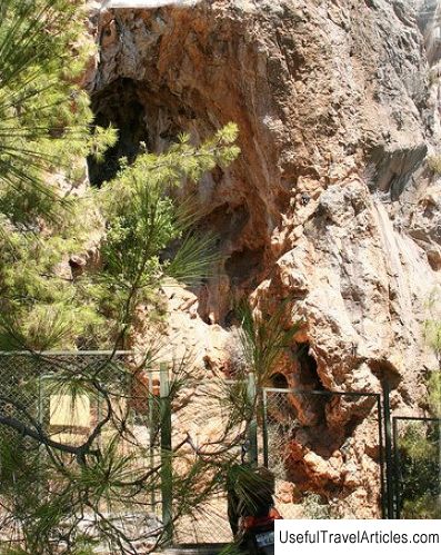
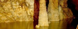
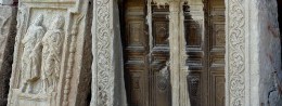
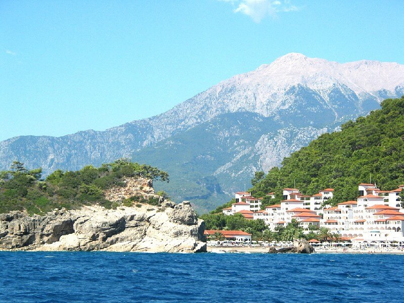
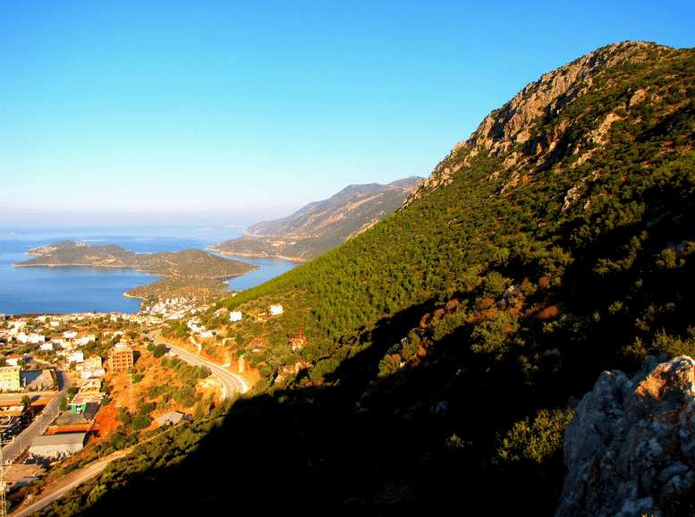
Beldibi Cave description and photos - Turkey: Kemer. Detailed information about the attraction. Description, photographs and a map showing the nearest significant objects. The name in English is Beldibi Cave. Photo and descriptionOlympos - Bedaglari National Park is located 25 kilometers from the center of Antalya and not far from the Turkish resort of Kemer. Its long and narrow plain stretches from Cape Reis to Cape Akyar. In the east of the park, the mountains slope down to the sea and are rocky cliffs. It is in this park that the famous Beldibi cave is located, 16 kilometers away from Kemer. It attracts tourists with its rock paintings and beautiful waterfalls. Not far from it, right in the rocky mountains, is the source of the small river Beldibi, which gave the name to the nearby village. The river is only four kilometers long. The small urban-type settlement Beldibi stretches in a narrow strip at a distance of six kilometers. In fact, it is a long street, consisting of hotels, shopping pavilions, bars and small restaurants. The indigenous population of the village is small. Beldibi is famous for its citrus gardens, picnic areas, tourist facilities with walking paths and pristine pebble beaches. A visit to the Beldibi Cave is of genuine interest among tourists vacationing in nearby cities. The cave is located at the foot of the sandstone mountains that extend into the sea and consists of two parts. It is a real historical value and, according to historians, has been used since the Paleolithic era. True, the most beautiful places in the cave date back to the Mesolithic era. This historical artifact was first discovered in 1956 by E. Bostanzhi, but excavations here began only three years later. There are six cultural layers in the cave: Paleolithic, Mesolithic, transitional from Mesolithic to Neolithic, 4th, 5th and 6th layers belong to the Paleolithic era. On the walls there are schematic drawings of a person, a shaman, mountain goats and deer, hunting scenes, figures depicting the mother goddess, divided into 4 sections by dots. Pictures were made with paints made of manganese oxide and natural iron. Here were found fragments of plates and jugs, small tools carved from stone and bone. Most of these archaeological finds are kept in museums in Antalya. The cave is located twenty-five meters above sea level and has a vaulted shape. This place, located among coniferous forests, was used by primitive hunters of the Paleolithic and Neolithic times as a refuge or dwelling. On the walls of the cave there are signs pointing towards the waterfall. To get to it, you will even have to swim across a shallow, but rather wide mountain river. The waterfall will thank you with its beauty for the obstacles that had to be overcome, getting to it. Of the natural attractions not far from the cave, there is the Goynuk canyon, from the historical - the ruins of the ancient settlement of Phaselis, surrounded by picturesque pine forests, which even on the hottest and cloudless days, they give people coolness and a welcome breath of wind.     We also recommend reading St. Isidorovskaya Church description and photos - Russia - St. Petersburg: St. Petersburg Topic: Beldibi Cave description and photos - Turkey: Kemer. |