Geography and Climate in Imatra
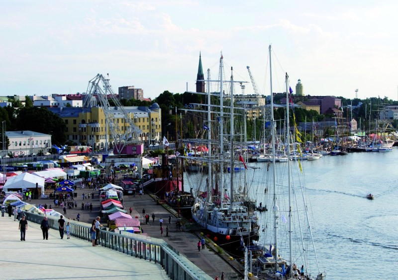
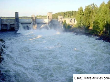
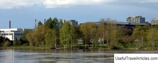
Rating: 7,5/10 (100 votes) 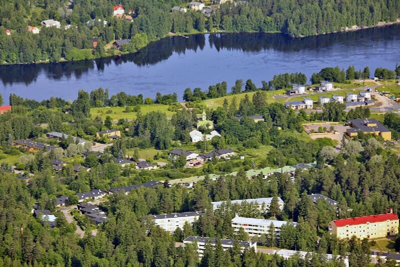 Imatra is a small Finnish city located in the South Karelia region, 6 km from the border with Russia. Imatra stands on the Vuoksa River, its total area is 191 km?, and the number of inhabitants is approaching 30 thousand. You can get to Imatra by plane, the nearest airport is located within the city of Lappeenranta. From the capital of Finland, Helsinki, Imatra can be easily reached by bus, which will take about 4.5 hours, by car in 3 hours, or by train in 2.5 hours. The continental climate of Imatra is quite severe: the average temperature in summer is +16 ° С, in winter -10 ° С. Imatra's time zone is UTC + 3 in summer, UTC + 2 in winter.  We also recommend reading Geography and Climate in Rovaniemi Topic: Geography and Climate in Imatra. |