Cape Sarych description and photo - Crimea: Foros
Rating: 7,8/10 (2340 votes) 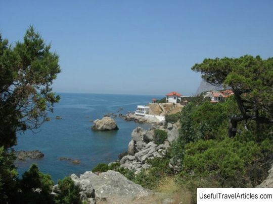
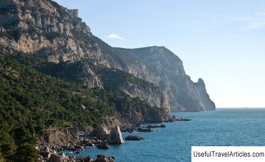
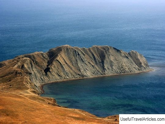
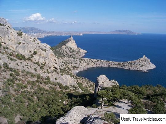
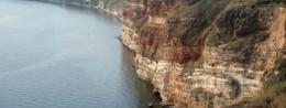
Cape Sarych description and photo - Crimea: Foros. Detailed information about the attraction. Description, photos and a map showing the nearest significant objects. Photo and descriptionCape Sarych is an incredibly colorful and unforgettable place, located between the urban-type resort village of Foros and Laspinskaya bay. Cape Sarych is the southernmost point of the Crimea peninsula. There are many versions regarding the name of the cape. One of the theories says that the name originated from the Persian word "sar", which means "cape" in translation, according to the other - from the Turkic word "sary" - yellow, because of the color of the surrounding hills. But since none of these versions has been confirmed, according to the opinion of the Russian scientist, writer and lexicographer V. Dal, the cape has the name "sarych", which means a bird of prey. Cape Sarych is a young natural formation in the form of a humpbacked the slope of the spur of the Baydar Yayla. Previously, the entire territory of Cape Sarych was filled with an impenetrable dense juniper forest. Nowadays there are boarding houses, sanatoriums, a resort private sector and state dachas. A relict juniper forest grows on the territory of the cape. Among the trees grow here are junipers, fluffy oaks, pistachios, jasmine, griffin and many other shrubs and trees, representatives of the sub-Mediterranean flora. In 1972, the coastal water complex of the Black Sea, located between Laspi Bay and Cape Sarych, received the status of a hydrological natural monument. In 1898, the Sarych lighthouse was erected on the cape, which showed sailors the way to Sevastopol. When the war began (1941), the Nazis broke through to the city, and the lighthouse was surrounded. The Germans were then in Laspi and Foros. Two armored vehicles were sent from Foros to capture the lighthouse, but the garrison responded with dignity to the invaders. The sailors blew up bridges and mined roads, after which the enemies had to retreat. The lighthouse continued to send light signals to ships, despite being surrounded. The current lighthouse is an artifact of the past. Each time, an hour before sunset, a light beam on the cliff lights up and goes out, which is visible 40 kilometers from the coast. Today, the southern part of Cape Sarych around the lighthouse is built up with private cottages, so access to water is limited.       We also recommend reading Buddhist temple description and photo - Russia - St. Petersburg: St. Petersburg Topic: Cape Sarych description and photo - Crimea: Foros. |